Loading...
Node: Am Klagesmarkt (2413172013)
Version #8
Add whether public transport stops are lit
- Edited by thokster
- Changeset #130799612
- Location: 52.3794508, 9.7334695
Tags
| bench | yes |
|---|---|
| bin | yes |
| bus | yes |
| highway | bus_stop |
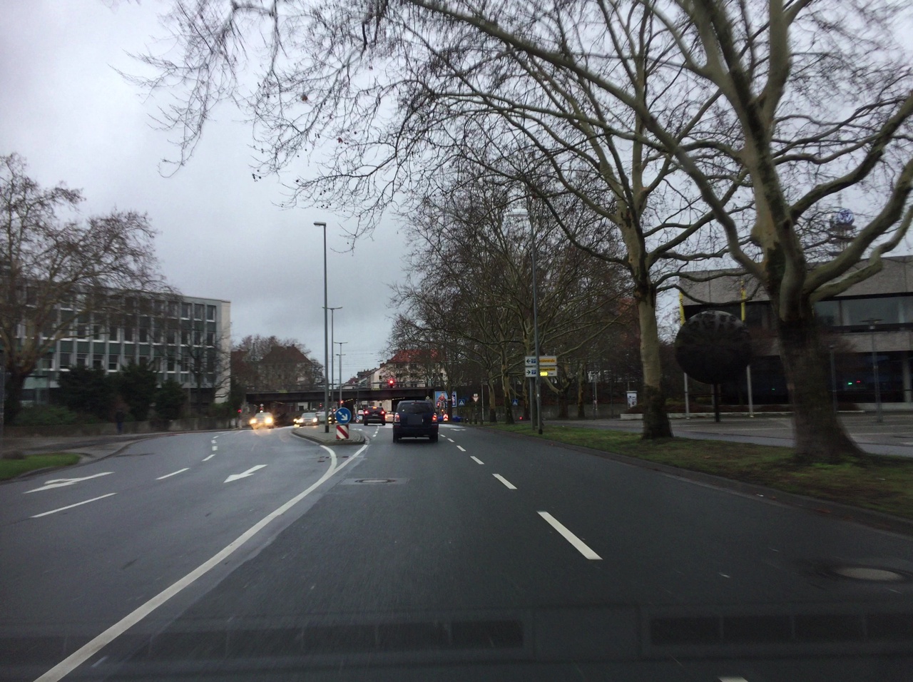
| image | http://storage4.openstreetcam.org/files/photo/2019/1/6/lth/1323061_4_5acb5_37.jpg |
| lit | yes |
| name | Am Klagesmarkt |
| network | Großraum-Verkehr Hannover |
| passenger_information_display | no |
| public_transport | platform |
| ref:IFOPT | de:03241:145:0:145 |
| ref_name | Am Klagesmarkt, Hannover |
| shelter | yes |
| survey:date | 2019-01-06 |
| tactile_paving | no |
Part of
2 relations
- Relation Bus 134: Peiner Straße → Nordring (287212) (as platform)
- Relation Bus 128: Peiner Straße → Nordring (3804586) (as platform)
Welcome to OpenStreetMap!
OpenStreetMap is a map of the world, created by people like you and free to use under an open license.
Hosting is supported by Fastly, OSMF corporate members, and other partners.
| https://openstreetmap.org/copyright | https://openstreetmap.org |
| Copyright OpenStreetMap and contributors, under an open license | |