Loading...
Node: 熊野町 (2725475156)
Version #3
Bus stop type (東京都, 関東地方, 日本)
- Edited by muramototomoya
- Changeset #70603667
- Location: 35.7424685, 139.7053687
Tags
| bus | yes |
|---|---|
| highway | bus_stop |
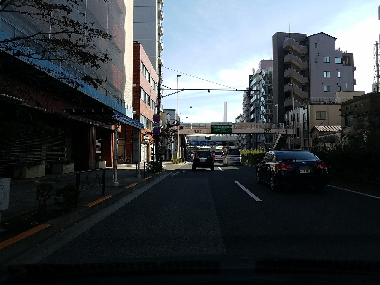
| image | https://storage9.openstreetcam.org/files/photo/2018/11/17/lth/1307169_4_dbe55_25.jpg |
| name | 熊野町 |
| name:en | Kumanocho |
| name:ja | 熊野町 |
| name:ja_kana | くまのちょう |
| name:ja_rm | Kumanochō |
| network | 国際興業バス |
| operator | 国際興業 |
| public_transport | platform |
| shelter | yes |
| survey:date | 2018-11-17 |
Part of
4 relations
- Relation 池55 (3670299)
- Relation 赤51 (3670399)
- Relation 赤97 (3670400)
- Relation 光02 (3683429)
Welcome to OpenStreetMap!
OpenStreetMap is a map of the world, created by people like you and free to use under an open license.
Hosting is supported by Fastly, OSMF corporate members, and other partners.
| https://openstreetmap.org/copyright | https://openstreetmap.org |
| Copyright OpenStreetMap and contributors, under an open license | |