Node History: Pic de Nore (2907395644)
Version #10
Suppression des images datant de plus de 3 ans. Les arrêts de bus ont subit beaucoup de modification depuis leur capture
- Edited by Percherie
- Changeset #138343120
- Location: 43.1838520, 2.9713480
Tags
Version #9
Ajout tag pour compatibilité fichier GTFS
- Edited by Percherie
- Changeset #93542932
- Location: 43.1838520, 2.9713480
Tags
| bench | yes |
|---|---|
| bin | no |
| bus | yes |
| highway | bus_stop |
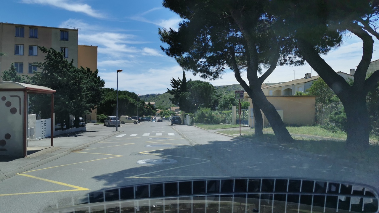
| image | https://storage13.openstreetcam.org/files/photo/2020/7/15/lth/2762662_9976c_5f0f7aaecd71a.jpg |
| name | Pic de Nore |
| public_transport | platform |
| shelter | yes |
| survey:date | 2020-07-18 |
Version #8
Rétablissement highway=bus_stop sur toutes les platform
- Edited by Percherie
- Changeset #90085709
- Location: 43.1838520, 2.9713480
Tags
| bench | yes |
|---|---|
| bin | no |
| highway | bus_stop |
| image | https://storage13.openstreetcam.org/files/photo/2020/7/15/lth/2762662_9976c_5f0f7aaecd71a.jpg |
| name | Pic de Nore |
| public_transport | platform |
| shelter | yes |
| survey:date | 2020-07-18 |
Version #7
Rétablissement highway=bus_stop sur toutes les platform
- Edited by Percherie
- Changeset #90071633
- Location: 43.1838520, 2.9713480
Tags
| bench | yes |
|---|---|
| bin | no |
| highway | platform |
| image | https://storage13.openstreetcam.org/files/photo/2020/7/15/lth/2762662_9976c_5f0f7aaecd71a.jpg |
| name | Pic de Nore |
| public_transport | platform |
| shelter | yes |
| survey:date | 2020-07-18 |
Version #6
test diagramme ligne de bus
- Edited by Percherie
- Changeset #89794035
- Location: 43.1838520, 2.9713480
Tags
| bench | yes |
|---|---|
| bin | no |
| image | https://storage13.openstreetcam.org/files/photo/2020/7/15/lth/2762662_9976c_5f0f7aaecd71a.jpg |
| name | Pic de Nore |
| public_transport | platform |
| shelter | yes |
| survey:date | 2020-07-18 |
Version #5
Arrêt de bus (attente des passagers), Agglo Narbonne (Le Grand Narbonne, Occitanie, France)
- Edited by Percherie
- Changeset #88400420
- Location: 43.1838520, 2.9713480
Tags
| bench | yes |
|---|---|
| bin | no |
| highway | bus_stop |
| image | https://storage13.openstreetcam.org/files/photo/2020/7/15/lth/2762662_9976c_5f0f7aaecd71a.jpg |
| name | Pic de Nore |
| public_transport | platform |
| shelter | yes |
| survey:date | 2020-07-18 |
Version #4
Arrêt de bus (attente des passagers), Agglo Narbonne (Grand Narbonne, Occitanie, France)
- Edited by Percherie
- Changeset #88060238
- Location: 43.1838520, 2.9713480
Tags
| bench | yes |
|---|---|
| bin | no |
| highway | bus_stop |
| image | https://storage13.openstreetcam.org/files/photo/2020/7/15/lth/2762662_9976c_5f0f7aaecd71a.jpg |
| name | Pic de Nore |
| public_transport | platform |
| shelter | yes |
| survey:date | 2020-07-15 |
Version #3
Ligne D
- Edited by Percherie
- Changeset #87869336
- Location: 43.1838819, 2.9713058
Tags
| highway | bus_stop |
|---|---|
| name | Pic de Nore |
| public_transport | platform |
Version #2
MaJ ligne A
- Edited by Percherie
- Changeset #87192997
- Location: 43.1838555, 2.9713434
Tags
| highway | bus_stop |
|---|---|
| name | Pic de Nore |
| public_transport | platform |
Version #1
Définition arrêt ligne A et D
- Edited by Percherie
- Changeset #22831380
- Location: 43.1838454, 2.9713673
Tags
Welcome to OpenStreetMap!
OpenStreetMap is a map of the world, created by people like you and free to use under an open license.
Hosting is supported by Fastly, OSMF corporate members, and other partners.
| https://openstreetmap.org/copyright | https://openstreetmap.org |
| Copyright OpenStreetMap and contributors, under an open license | |