Loading...
Relation: Tõstamaa matkarada (14040172)
Version #1
Hiking path
Tags
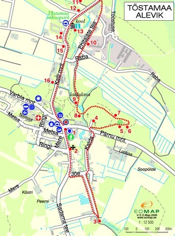
| description | RMK õpperada |
|---|---|
| distance | 5.5 |
| name | Tõstamaa matkarada |
| network | rwn |
| note | gps track |
| route | hiking |
| symbol | no markings |
| type | route |
| website | https://mois.tostamaa.ee/wp-content/uploads/2018/07/Tostamaa_matkarada_kaart1.jpg |
Members
23 members
- Way Sadama tee (440715408)
- Way Sadama tee (440715407)
- Way Sadama tee (1051911584)
- Way Jõe (219732720)
- Way Jõe (219732721)
- Way Jõe (219732721)
- Way Jõe (1051911583)
- Way Jõe (329435809)
- Way Jõe (329435806)
- Way Kalda (219732722)
- Way Pärnu mnt (1051911579)
- Way 1051911578
- Way 1051909140
- Way 1051911576
- Way 1051911575
- Way 1051911574
- Way 1051911572
- Way 1051911569
- Way 1051911573
- Way Kalli mnt (904679685)
- Way Kalli mnt (961649327)
- Way Kalli mnt (977653574)
- Way Varbla mnt (213918286)
Welcome to OpenStreetMap!
OpenStreetMap is a map of the world, created by people like you and free to use under an open license.
Hosting is supported by Fastly, OSMF corporate members, and other partners.
| https://openstreetmap.org/copyright | https://openstreetmap.org |
| Copyright OpenStreetMap and contributors, under an open license | |