Loading...
Relation: Orania (9504405)
Version #11
Fix phone numbers not in E.123 Format
- Edited by confusedbuffalo
- Changeset #143577881
Tags
| admin_level | 9 |
|---|---|
| boundary | administrative |
| inligting@orania.co.za | |
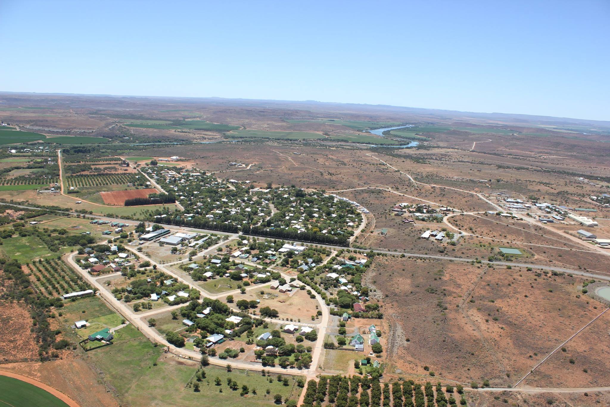
| image | https://upload.wikimedia.org/wikipedia/commons/d/dd/Aerial_view_2_Orania_02-2015.jpg |
| is_in:country | South Africa |
| is_in:country_code | ZA |
| is_in:province | Northern Cape |
| is_in:province_code | ZA-NC |
| name | Orania |
| name:af | Orania Verteenwoordigde Oorgangsraad |
| name:en | Orania |
| note | The Orania TRC is a unique case in SA local government - see https://infogalactic.com/info/Orania,_Northern_Cape |
| official_name | Orania Transitional Representative Council |
| phone | +27 53 207 0062 |
| place | township |
| source | https://orania.co.za/wp-content/uploads/2020/05/Orania-Dorpsraad-Sensus-2019-FINAAL.pdf |
| start_date | 1991-04 |
| type | boundary |
| website | https://orania.co.za/ |
Members
9 members
- Node Orania (262721839) as admin_centre
- Way 1176620573 as outer
- Way 685007582 as outer
- Way 1176620563 as outer
- Way 685007580 as outer
- Way 1176699581 as outer
- Relation Orania Dorpsgebied (15910062) as subarea
- Relation Vluytjeskraal 272-hoewes (15910063) as subarea
- Relation Vluytjeskraal-Noord (15910064) as subarea
Welcome to OpenStreetMap!
OpenStreetMap is a map of the world, created by people like you and free to use under an open license.
Hosting is supported by Fastly, OSMF corporate members, and other partners.
| https://openstreetmap.org/copyright | https://openstreetmap.org |
| Copyright OpenStreetMap and contributors, under an open license | |