Loading...
Way: 1259800184
Version #3
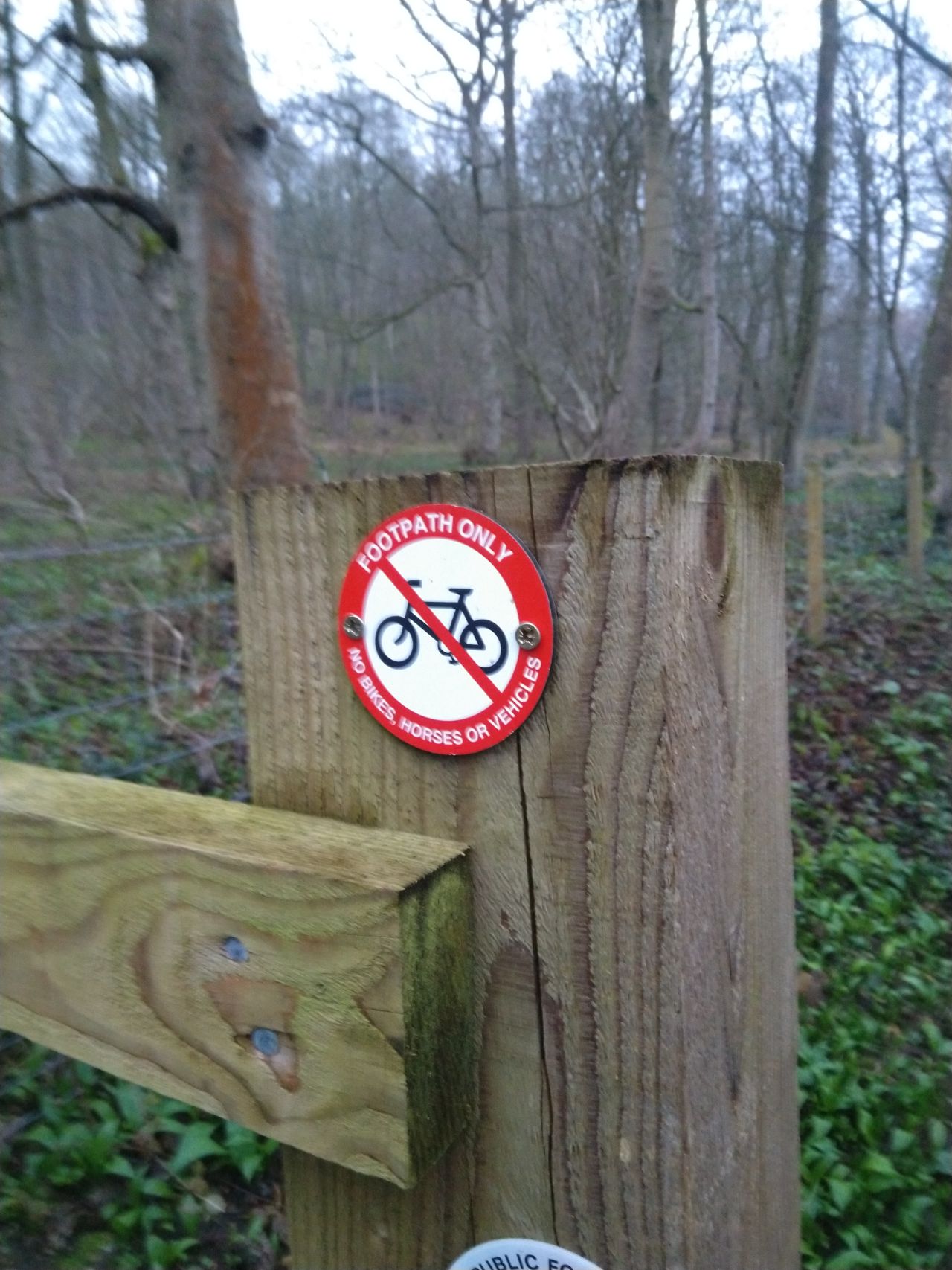
Near Crambeck and Castle Howard Station, from survey 10/3/2024, ts0756a
- Edited by SomeoneElse
- Changeset #150012011
Tags
| bicycle | no |
|---|---|
| designation | public_footpath |
| foot | yes |
| highway | footway |
| source | survey |
| source:foot | https://map.atownsend.org.uk/tmp/201031.jpg |
| surface | dirt |
Part of
1 relation
- Relation Centenary Way (16620)
Nodes
7 nodes
- 11712130721 (part of way 1259800183)
- 11662933833
- 11712130713
- 11662933832
- 11712130732
- 11712045908 (part of way 314853809)
- 11662933831 (part of ways Castle Howard Station Road (1254607628) and Castle Howard Station Road (1254612951))
Welcome to OpenStreetMap!
OpenStreetMap is a map of the world, created by people like you and free to use under an open license.
Hosting is supported by Fastly, OSMF corporate members, and other partners.
| https://openstreetmap.org/copyright | https://openstreetmap.org |
| Copyright OpenStreetMap and contributors, under an open license | |