Loading...
Way History: Route de Cornebarrieu (141282474)
Version #6
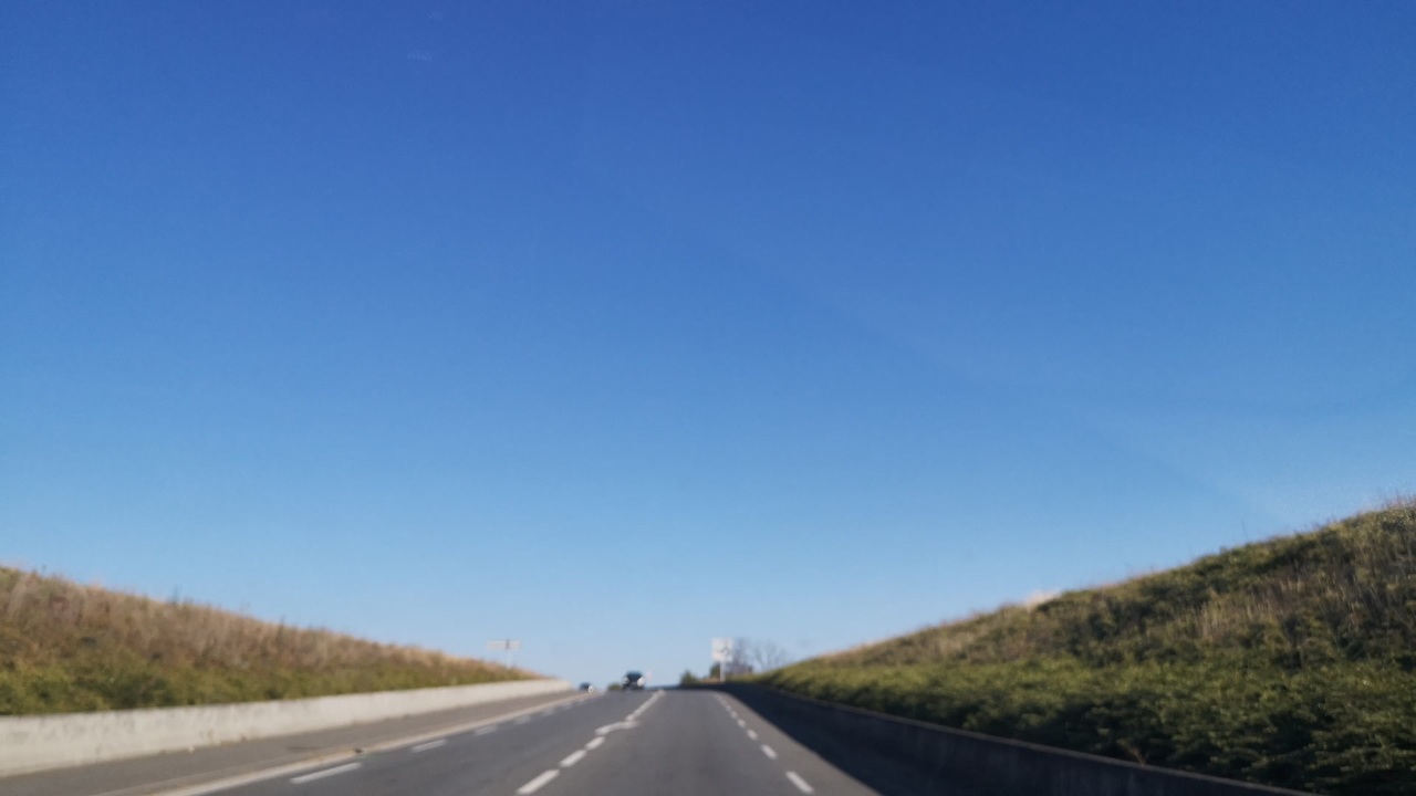
Determine roads lane count
Tags
| cycleway:both | separate |
|---|---|
| highway | secondary |
| image | http://storage9.openstreetcam.org/files/photo/2018/9/29/lth/1294291_14_28f6e_47.jpg |
| lanes | 2 |
| name | Route de Cornebarrieu |
| old:ref | D 1 |
| parking_lane | none |
| ref | M 1 |
| surface | asphalt |
| survey:date | 2018-09-29 |
Nodes
7 nodes
- 338462149 (part of ways Route de Cornebarrieu (141282471) and Route de Cornebarrieu (30609244))
- 338462117
- 1546585257
- 1546585275
- 1546585289
- 1546585311
- 345251625 (part of way Route de Cornebarrieu (31057655))
Version #5
Specify whether there are cycleways
Tags
| cycleway:both | separate |
|---|---|
| highway | secondary |
| image | http://storage9.openstreetcam.org/files/photo/2018/9/29/lth/1294291_14_28f6e_47.jpg |
| name | Route de Cornebarrieu |
| old:ref | D 1 |
| parking_lane | none |
| ref | M 1 |
| surface | asphalt |
| survey:date | 2018-09-29 |
Nodes
7 nodes
- 338462149 (part of ways Route de Cornebarrieu (141282471) and Route de Cornebarrieu (30609244))
- 338462117
- 1546585257
- 1546585275
- 1546585289
- 1546585311
- 345251625 (part of way Route de Cornebarrieu (31057655))
Version #4
D1 devenue M1 entre Mondonville et Blagnac
- Edited by Kuremu Sakura
- Changeset #105792372
Tags
| highway | secondary |
|---|---|
| image | http://storage9.openstreetcam.org/files/photo/2018/9/29/lth/1294291_14_28f6e_47.jpg |
| name | Route de Cornebarrieu |
| old:ref | D 1 |
| parking_lane | none |
| ref | M 1 |
| surface | asphalt |
| survey:date | 2018-09-29 |
Nodes
7 nodes
- 338462149 (part of ways Route de Cornebarrieu (141282471) and Route de Cornebarrieu (30609244))
- 338462117
- 1546585257
- 1546585275
- 1546585289
- 1546585311
- 345251625 (part of way Route de Cornebarrieu (31057655))
Version #3
Est-ce qu'il y a des voies de parking (Toulouse, Occitanie, France)
- Edited by Sebastien Dinot
- Changeset #68349686
Tags
| highway | secondary |
|---|---|
| image | http://storage9.openstreetcam.org/files/photo/2018/9/29/lth/1294291_14_28f6e_47.jpg |
| name | Route de Cornebarrieu |
| parking_lane | none |
| ref | D 1 |
| surface | asphalt |
| survey:date | 2018-09-29 |
Nodes
7 nodes
- 338462149 (part of ways Route de Cornebarrieu (141282471) and Route de Cornebarrieu (30609244))
- 338462117
- 1546585257
- 1546585275
- 1546585289
- 1546585311
- 345251625 (part of way Route de Cornebarrieu (31057655))
Version #2
Add road surfaces
Tags
Nodes
7 nodes
- 338462149 (part of ways Route de Cornebarrieu (141282471) and Route de Cornebarrieu (30609244))
- 338462117
- 1546585257
- 1546585275
- 1546585289
- 1546585311
- 345251625 (part of way Route de Cornebarrieu (31057655))
Version #1
Ajustement de voies et de bâtiments à Blagnac (Haute-Garonne, France)
- Edited by Sebastien Dinot
- Changeset #10120660
Tags
Nodes
7 nodes
- 338462149 (part of ways Route de Cornebarrieu (141282471) and Route de Cornebarrieu (30609244))
- 338462117
- 1546585257
- 1546585275
- 1546585289
- 1546585311
- 345251625 (part of way Route de Cornebarrieu (31057655))
Welcome to OpenStreetMap!
OpenStreetMap is a map of the world, created by people like you and free to use under an open license.
Hosting is supported by Fastly, OSMF corporate members, and other partners.
| https://openstreetmap.org/copyright | https://openstreetmap.org |
| Copyright OpenStreetMap and contributors, under an open license | |