Loading...
Way: Kärntner Straße (23311752)
Version #21
Kreuzung überarbeitet, dait man "geradeaus" über die Straße kommt
Tags
| highway | secondary |
|---|---|
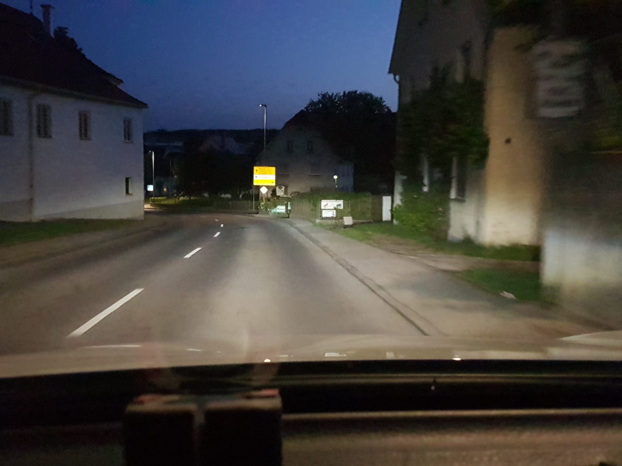
| image | https://storage11.openstreetcam.org/files/photo/2019/6/26/lth/1566809_1dc5f_5d13b1ae2695c.jpg |
| lanes | 2 |
| lcn | yes |
| lit | yes |
| maxspeed | 50 |
| name | Kärntner Straße |
| ref | L 280 |
| surface | asphalt |
| survey:date | 2019-06-26 |
Part of
2 relations
- Relation L 280 (48021)
- Relation Alb-Donau-Kreis Tour 13 (139002)
Nodes
26 nodes
- 252375815 (part of ways Kirchstraße (35819109) and Poststraße (60961224))
- 3578506802
- 6018175348 (part of way 638574195)
- 940395086
- 4004571903
- 940395120
- 7130418909 (part of way 763046706)
- 940395132
- 940395144
- 4004571909
- 252375930
- 940395166
- 1107712051 (part of way Auf der Bausch (95527227))
- 4004571908
- 252375932
- 4817821416 (part of way 489547795)
- 3087843111 (part of way Obere Bausch (304250219))
- 252375937
- 4004571902
- 252375940
- 4004571901
- 4004571900
- 252375947 (part of way 397964523)
- 4817821403 (part of way 489547785)
- 4007366074
- 1196987042 (part of ways Kärntner Straße (1193307220) and Buchenweg (1193307222))
Welcome to OpenStreetMap!
OpenStreetMap is a map of the world, created by people like you and free to use under an open license.
Hosting is supported by Fastly, OSMF corporate members, and other partners.
| https://openstreetmap.org/copyright | https://openstreetmap.org |
| Copyright OpenStreetMap and contributors, under an open license | |