Loading...
Way History: 25024571
Version #9
Dreieich Buchschlag: Gebäude genauer & aktueller
Tags
| foot | yes |
|---|---|
| highway | cycleway |
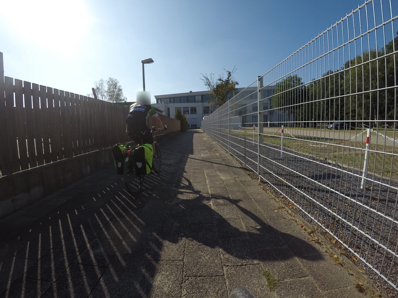
| image | https://storage12.openstreetcam.org/files/photo/2019/9/18/lth/1964433_a2e0b_5d81ea48da99a.jpg |
| lit | yes |
| mapillary | 1044185942985948 |
| segregated | no |
| smoothness | intermediate |
| surface | paving_stones |
| survey:date | 2021-08-15 |
Nodes
3 nodes
- 267471261 (part of ways Am Siebenstein (449718041) and Am Siebenstein (27012596))
- 9967205605
- 267100921 (part of ways 83999445 and Im Steingrund (449718042))
Version #8
Straßen, Wege, Surface, Pois, Radrouten angepasst, zugefügt
Tags
| foot | yes |
|---|---|
| highway | cycleway |
| image | https://storage12.openstreetcam.org/files/photo/2019/9/18/lth/1964433_a2e0b_5d81ea48da99a.jpg |
| lit | yes |
| mapillary | 1044185942985948 |
| segregated | no |
| smoothness | intermediate |
| surface | paving_stones |
| survey:date | 2021-08-15 |
Nodes
2 nodes
- 267471261 (part of ways Am Siebenstein (449718041) and Am Siebenstein (27012596))
- 267100921 (part of ways 83999445 and Im Steingrund (449718042))
Version #7
Path smoothness (Langen, Landkreis Offenbach, Hessen, 63225, Deutschland)
Tags
| foot | yes |
|---|---|
| highway | cycleway |
| image | https://storage12.openstreetcam.org/files/photo/2019/9/18/lth/1964433_a2e0b_5d81ea48da99a.jpg |
| lit | yes |
| mapillary | 1044185942985948 |
| segregated | no |
| smoothness | intermediate |
| surface | asphalt |
| survey:date | 2021-08-15 |
Nodes
2 nodes
- 267471261 (part of ways Am Siebenstein (449718041) and Am Siebenstein (27012596))
- 267100921 (part of ways 83999445 and Im Steingrund (449718042))
Version #6
Add segregated status for combined footway with cycleway
Tags
| foot | yes |
|---|---|
| highway | cycleway |
| image | https://storage12.openstreetcam.org/files/photo/2019/9/18/lth/1964433_a2e0b_5d81ea48da99a.jpg |
| lit | yes |
| segregated | no |
| surface | asphalt |
| survey:date | 2019-09-18 |
Nodes
2 nodes
- 267471261 (part of ways Am Siebenstein (449718041) and Am Siebenstein (27012596))
- 267100921 (part of ways 83999445 and Im Steingrund (449718042))
Version #5
Street lights (Langen, Landkreis Offenbach, Hessen, 63225, Deutschland)
- Edited by Bierphysik
- Changeset #97991049
Tags
| foot | yes |
|---|---|
| highway | cycleway |
| image | https://storage12.openstreetcam.org/files/photo/2019/9/18/lth/1964433_a2e0b_5d81ea48da99a.jpg |
| lit | yes |
| surface | asphalt |
| survey:date | 2019-09-18 |
Nodes
2 nodes
- 267471261 (part of ways Am Siebenstein (449718041) and Am Siebenstein (27012596))
- 267100921 (part of ways 83999445 and Im Steingrund (449718042))
Version #4
Added & modified POIs at Dreieich-Buchschlag
- Edited by MinistryofCache
- Changeset #15931497
Tags
Nodes
2 nodes
- 267471261 (part of ways Am Siebenstein (449718041) and Am Siebenstein (27012596))
- 267100921 (part of ways 83999445 and Im Steingrund (449718042))
Version #3
Buchschlag / Zeppelinheim Wald Polygon
- Edited by spacer1971
- Changeset #6294198
Tags
Nodes
2 nodes
- 267471261 (part of ways Am Siebenstein (449718041) and Am Siebenstein (27012596))
- 267100921 (part of ways 83999445 and Im Steingrund (449718042))
Version #2
RMV 1
Tags
Nodes
3 nodes
- 267471261 (part of ways Am Siebenstein (449718041) and Am Siebenstein (27012596))
-
272096695 - 267100921 (part of ways 83999445 and Im Steingrund (449718042))
Version #1
(no comment)
Tags
Nodes
3 nodes
- 267100921 (part of ways 83999445 and Im Steingrund (449718042))
-
272096695 - 267471261 (part of ways Am Siebenstein (449718041) and Am Siebenstein (27012596))
Welcome to OpenStreetMap!
OpenStreetMap is a map of the world, created by people like you and free to use under an open license.
Hosting is supported by Fastly, OSMF corporate members, and other partners.
| https://openstreetmap.org/copyright | https://openstreetmap.org |
| Copyright OpenStreetMap and contributors, under an open license | |