Loading...
Way History: 49212328
Version #7
Update cross country ski tracks Altenberg as of Feb 2022
Tags
| highway | track |
|---|---|
| piste:difficulty | easy |
| piste:grooming | classic |
| piste:type | nordic |
| tracktype | grade4 |
Nodes
Version #6
Regular grooming Loipen Altenberg/Schellerhau
Tags
| highway | track |
|---|---|
| piste:difficulty | easy |
| piste:grooming | classic;skating |
| piste:type | nordic |
| tracktype | grade4 |
Nodes
Version #5
Crosscountry ski definitions.
Tags
| highway | track |
|---|---|
| piste:difficulty | easy |
| piste:grooming | backcountry |
| piste:type | nordic |
| tracktype | grade4 |
Nodes
Version #4
groomed xc trails Altenberg-Schellerhau
Tags
| highway | track |
|---|---|
| piste:difficulty | easy |
| piste:grooming | classic+skating |
| piste:type | nordic |
| tracktype | grade4 |
Nodes
Version #3
(no comment)
Tags
| highway | track |
|---|---|
| piste:grooming | classic+skating |
| piste:type | nordic |
| tracktype | grade4 |
Nodes
Version #2
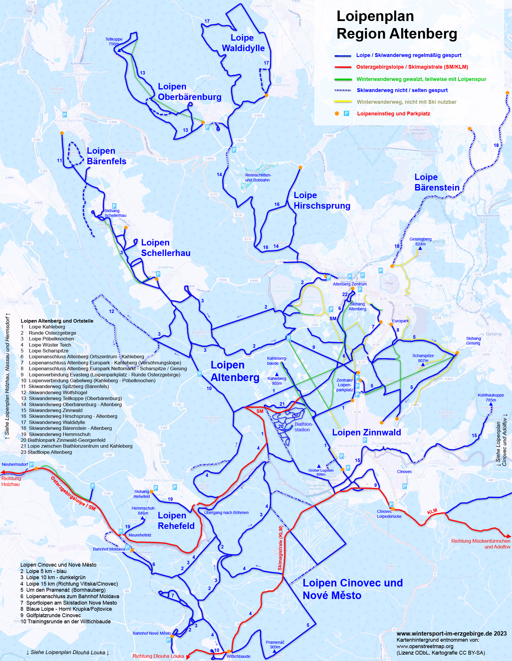
Loipen Region Altenberg nach http://www.wintersport-im-erzgebirge.de/langlauf/osterzgebirge/Loipenplan_Altenberg.png
Tags
| highway | track |
|---|---|
| piste:type | nordic |
| tracktype | grade4 |
Nodes
Version #1
(no comment)
- Edited by tomtoni109
- Changeset #3762442
Tags
| highway | track |
|---|---|
| piste:type | nordic |
| tracktype | grade4 |
Nodes
Welcome to OpenStreetMap!
OpenStreetMap is a map of the world, created by people like you and free to use under an open license.
Hosting is supported by Fastly, OSMF corporate members, and other partners.
| https://openstreetmap.org/copyright | https://openstreetmap.org |
| Copyright OpenStreetMap and contributors, under an open license | |