Loading...
Changeset: 109369113
Added campgrounds, military area, streams
Closed by NMYR
Tags
| changesets_count | 126 |
|---|---|
| created_by | RapiD 1.1.5 |
| host | https://mapwith.ai/rapid |
| imagery_used | Maxar Standard Imagery (Beta);Bing aerial imagery |
| locale | en-US |
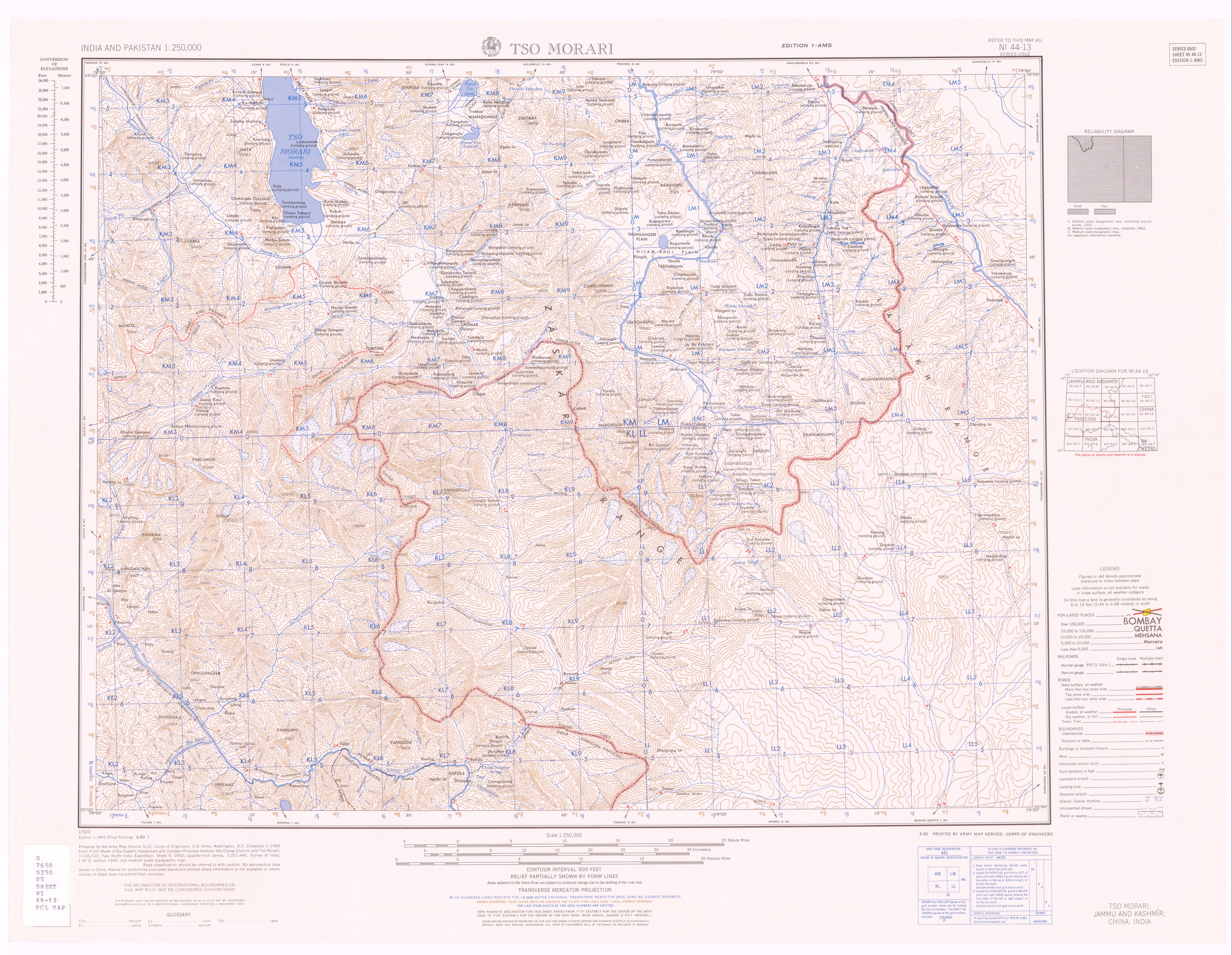
| source | http://legacy.lib.utexas.edu/maps/ams/india/ni-44-13.jpg |
| warnings:crossing_ways:highway-waterway | 1 |
Discussion
Ways (21-24 of 24)
- 1
- 2
- 971484840, v1
- Koyul Lungpa river (165935872), v13
- 734248285, v4
- Chisumle-Demchok Road (803907568), v4
- 8991515414, v1
- 8991515415, v1
- 8991515416, v1
- 8991536617, v1
- Leshi (8991536618), v1
- Koa Chumik (8991536619), v1
- Sumdole (8991536620), v1
- Shubrale (8991536621), v1
- 8991536622, v1
- 8991536623, v1
- 8991536624, v1
- 8991536625, v1
- 8991536626, v1
- 8991536627, v1
- 8991536628, v1
- 8991536629, v1
- 8991536630, v1
- 8991536631, v1
- 8991536632, v1
- 8991536633, v1
Welcome to OpenStreetMap!
OpenStreetMap is a map of the world, created by people like you and free to use under an open license.
Hosting is supported by Fastly, OSMF corporate members, and other partners.
| https://openstreetmap.org/copyright | https://openstreetmap.org |
| Copyright OpenStreetMap and contributors, under an open license | |