Loading...
Changeset: 140395407
A few Lincoln Corridor touchups around Pontiac + some farmland.
Closed by UrbanUnPlanner
Tags
| changesets_count | 720 |
|---|---|
| created_by | iD 2.27.1 |
| host | https://www.openstreetmap.org/edit |
| imagery_used | Esri World Imagery;Bing Streetside;Mapillary Images;KartaView Images;Esri World Imagery (Clarity) Beta;Bing Maps Aerial |
| locale | en-US |
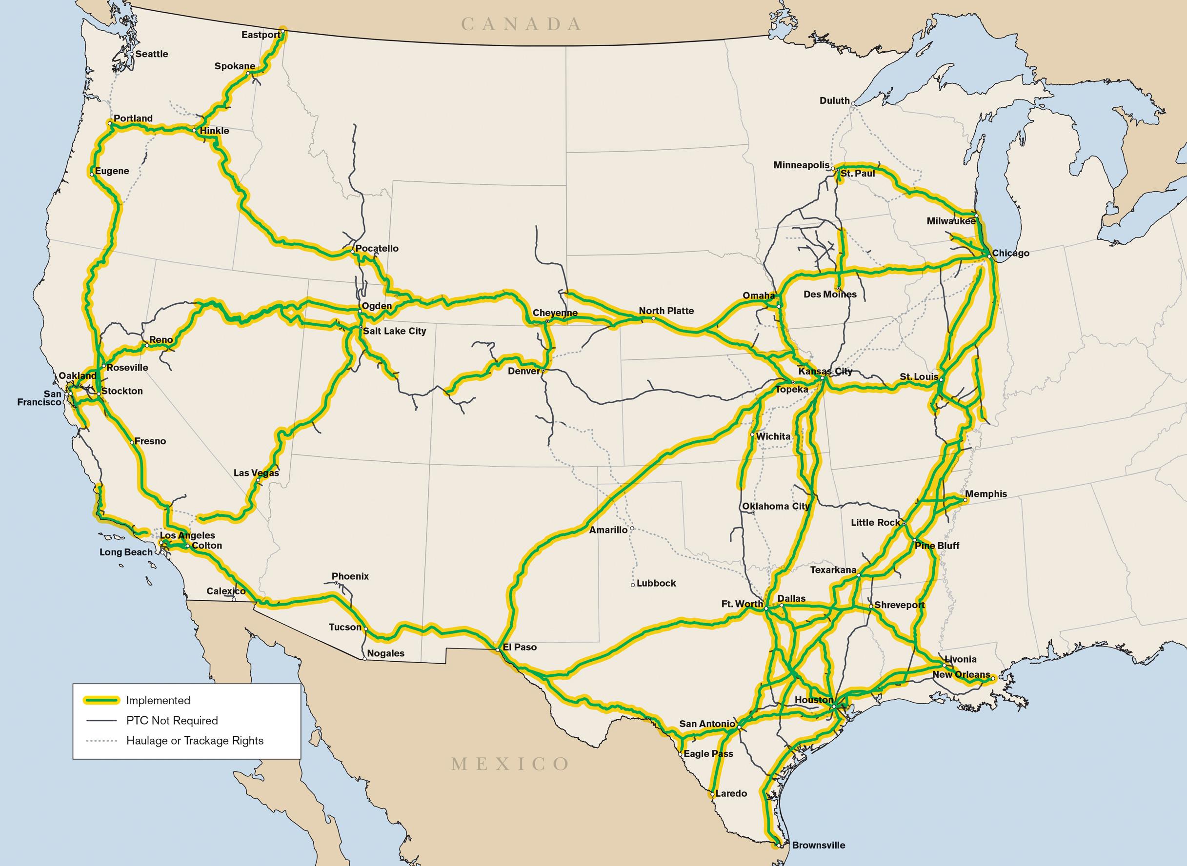
| source | streetlevel imagery;streetside;mapillary;kartaview;local knowledge;https://fragis.fra.dot.gov/gisfrasafety/;aerial imagery;https://www.up.com/cs/groups/public/@uprr/@newsinfo/documents/digitalmedia/img_up_media_4q19_ptc_map.jpg |
Discussion
Ways (14)
- 1202220662, v1
- 1202220663, v1
- 1202220664, v1
- 1202220665, v1
- 1202220666, v1
- 1202220667, v1
- 1202220668, v1
- 1202220669, v1
- 1202220670, v1
- Memorial Park Cemetery (1202220671), v1
- 21841640, v3
- Joliet Subdivision (365976492), v7
- Joliet Subdivision (365981410), v7
- 1200972040, v2
- 11145455059, v1
- 11145455060, v1
- 11145455061, v1
- 11145455062, v1
- 11145455063, v1
- 11145455064, v1
- 11145455065, v1
- 11145455066, v1
- 11145455067, v1
- 11145455068, v1
- 11145455069, v1
- 11145455070, v1
- 11145455071, v1
- 11145455072, v1
- 11145455073, v1
- 11145455074, v1
- 11145455075, v1
- 11145455076, v1
- 11145455077, v1
- 11145455078, v1
Welcome to OpenStreetMap!
OpenStreetMap is a map of the world, created by people like you and free to use under an open license.
Hosting is supported by Fastly, OSMF corporate members, and other partners.
| https://openstreetmap.org/copyright | https://openstreetmap.org |
| Copyright OpenStreetMap and contributors, under an open license | |