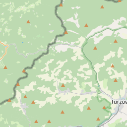
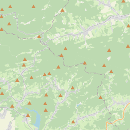
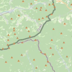
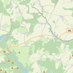
Relation: Kopřivnice (437575)
Version #25
Fixing population tags of Czech administrative units and places.
Tags
| admin_level | 8 |
|---|---|
| boundary | administrative |
| name | Kopřivnice |
| name:cs | Kopřivnice |
| name:de | Nesselsdorf |
| name:pl | Koprzywnica |
| name:prefix | město |
| population | 23032 |
| ref | CZ0804599565 |
| source | cuzk:ruian |
| source:population | csu:rso |
| type | boundary |
| wikidata | Q849439 |
| wikipedia | cs:Kopřivnice |
Part of
1 relation
 okres Nový Jičín (441188) (as subarea)
Members
19 members
 Node Kopřivnice (1601461325) as admin_centre
- Relation Kopřivnice (432195) as subarea
- Relation Drnholec nad Lubinou (432121) as subarea
- Relation Větřkovice u Lubiny (431177) as subarea
- Relation Mniší (431683) as subarea
- Relation Vlčovice (432162) as subarea
 Way 179845818 as outer
- Way 179845816 as outer
- Way 179845814 as outer
- Way 179846636 as outer
- Way 181615869 as outer
- Way 181615868 as outer
- Way 181616459 as outer
- Way 181669901 as outer
- Way 194299264 as outer
- Way 262458124 as outer
- Way 317347969 as outer
- Way 462344493 as outer
- Way 505395426 as outer
Welcome to OpenStreetMap!
OpenStreetMap is a map of the world, created by people like you and free to use under an open license.
Hosting is supported by Fastly, OSMF corporate members, and other partners.

| https://openstreetmap.org/copyright | https://openstreetmap.org |
| Copyright OpenStreetMap and contributors, under an open license | |