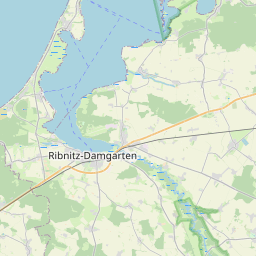
Relation: Marlow (372363)
Version #20
Lückenschluss (voriger Änderungssatz) und Oberlauf
Tags
| admin_level | 8 |
|---|---|
| boundary | administrative |
| de:amtlicher_gemeindeschluessel | 13073055 |
| de:regionalschluessel | 130730055055 |
| name | Marlow |
| name:prefix | Stadt |
| type | boundary |
| wikidata | Q536765 |
| wikipedia | de:Marlow |
Members
20 members
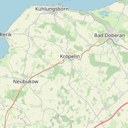
 Way Marlow, Stadt (55034313) as outer
- Way Schulenberger Mühlenbach (673740806) as outer
- Way Schulenberger Mühlenbach (673740804) as outer
- Way Schulenberger Mühlenbach (673740823) as outer
- Way (Schulenberger) Mühlenbach (topogr.) (673740827) as outer
- Way (Schulenberger) Mühlenbach (topogr.) (673740833) as outer
- Way (Schulenberger) Mühlenbach (topogr.) (673740837) as outer
- Way 673740794 as outer
- Way 55036970 as outer
- Way 48815328 as outer
- Way Mandelshagen (673749756) as outer
- Way 48815053 as outer
- Way Blankenhagen (48815412) as outer
- Way Gelbensande (669834693) as outer
- Way Gelbensande (48815427) as outer
- Way Ribnitz-Damgarten, Stadt (55034259) as outer
- Way 52613303 as outer
- Way 52612231 as outer
- Way 52124645 as outer
- Way 52123733 as outer
Welcome to OpenStreetMap!
OpenStreetMap is a map of the world, created by people like you and free to use under an open license.
Hosting is supported by Fastly, OSMF corporate members, and other partners.


| https://openstreetmap.org/copyright | https://openstreetmap.org |
| Copyright OpenStreetMap and contributors, under an open license | |