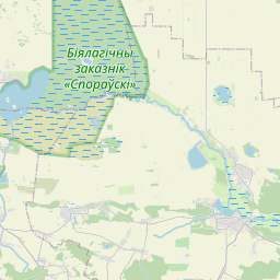
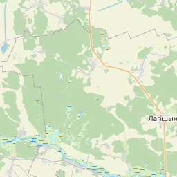
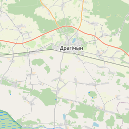
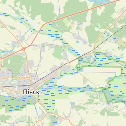
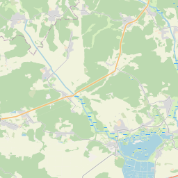
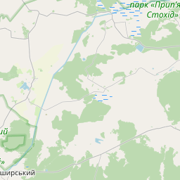
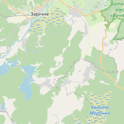
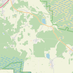
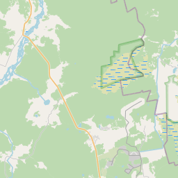
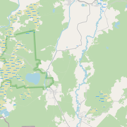
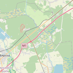
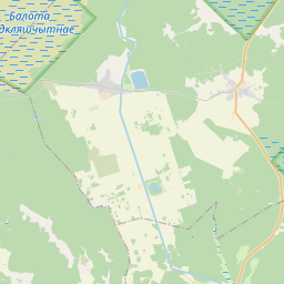
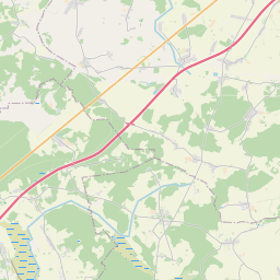
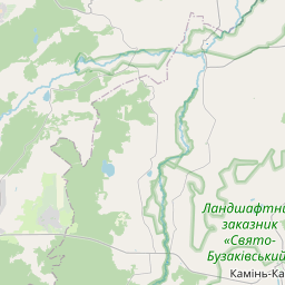
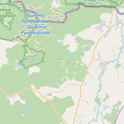
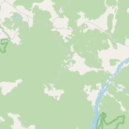
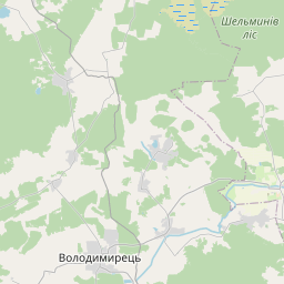
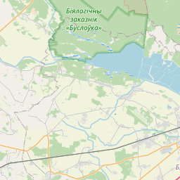
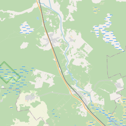
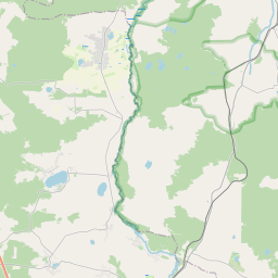
Relation: Піна (7802133)
Version #17
delete incorrect automatic translation of banned user
Tags
| CEMT | IV |
|---|---|
| boat | yes |
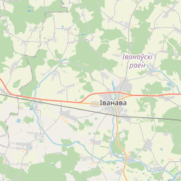
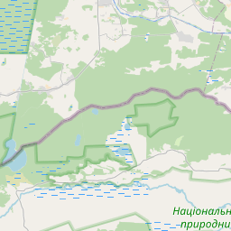
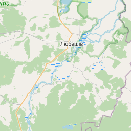
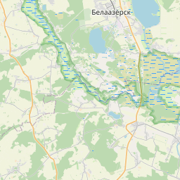
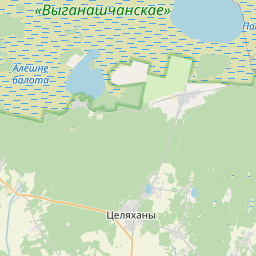
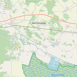
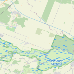
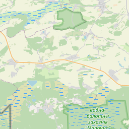
| destination | Прыпяць |
| length | 40 km |
| name | Піна |
| name:be | Піна |
| name:pl | Pina |
| name:ru | Пина |
| type | waterway |
| waterway | river |
| wikidata | Q647126 |
| wikipedia | be:Піна |
Part of
1 relation
Members
22 members
 Way Піна (413733502)
- Way Піна (745272000)
- Way Піна (556694718)
- Way 893115853
- Way 556694719
- Way 893115854
- Way Піна (997692909)
- Way Піна (556266345)
- Way Піна (556266344)
- Way Піна (789916537) as main_stream
- Way Піна (1265890938) as main_stream
- Way Піна (1265890937) as main_stream
- Way Піна (789916538) as main_stream
- Way Піна (789916525) as main_stream
- Way Піна (789916526) as main_stream
- Way Піна (556266342) as main_stream
- Way Піна (556266342)
- Way Піна (789916526)
 Relation Няслуха (8529785) as tributary
- Relation Піліпаўка (8534709) as tributary
- Relation Ныўка (8541369) as tributary
- Relation Завышанскі канал (9256820) as tributary
Welcome to OpenStreetMap!
OpenStreetMap is a map of the world, created by people like you and free to use under an open license.
Hosting is supported by Fastly, OSMF corporate members, and other partners.


| https://openstreetmap.org/copyright | https://openstreetmap.org |
| Copyright OpenStreetMap and contributors, under an open license | |