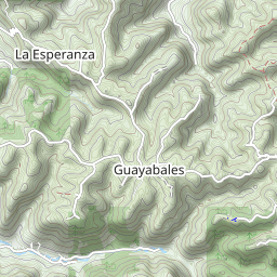
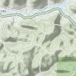
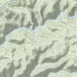
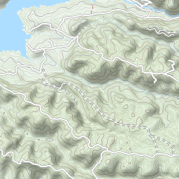
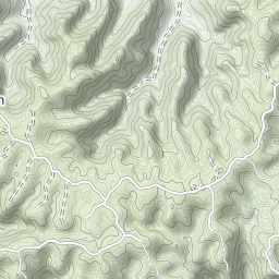
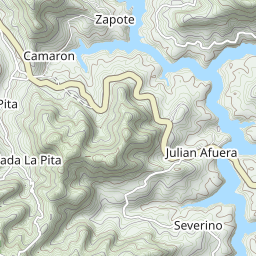
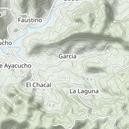
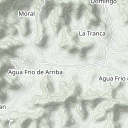
Relation: San Plácido (2668396)
Version #15
add wikidata tags within Manabí, EC-M, Ecuador
- Edited by Emilio Gomez
- Changeset #151093962
Tags
| admin_level | 8 |
|---|---|
| boundary | administrative |
| is_in:state | Manabí |
| municipality_code | 13-01-56 |
| name | San Plácido |
| place | municipality |
| type | boundary |
| wikidata | Q13190691 |
| wikipedia | de:San Plácido |
Members
22 members
 Way 412489936 as outer
- Way 576144535 as outer
- Way Río Pata de Pajaro (576109703) as outer
 Way 229839109 as outer
- Way 412121104 as outer
- Way 412121103 as outer
- Way 412121102 as outer
- Way 899744657 as outer
- Way 899744656 as outer
- Way 412092240 as outer
- Way 412092253 as outer
- Way 412092245 as outer
- Way 197842107 as outer
- Way 42066548 as outer
- Way 42083080 as outer
- Way 197842104 as outer
 Way E30 (71366918) as outer
- Way E30 (198667059) as outer
- Way Río Pata de Pajaro (411511048) as outer
- Way Río Pata de Pajaro (229261698) as outer
- Way Río Portoviejo (1115529449) as outer
- Way 229261699 as outer
Welcome to OpenStreetMap!
OpenStreetMap is a map of the world, created by people like you and free to use under an open license.
Hosting is supported by Fastly, OSMF corporate members, and other partners.


| https://openstreetmap.org/copyright | https://openstreetmap.org |
| Copyright OpenStreetMap and contributors, under an open license | |