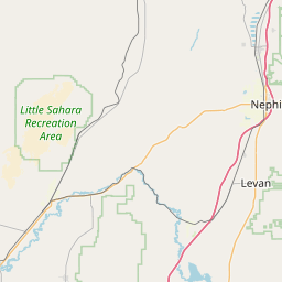
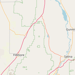
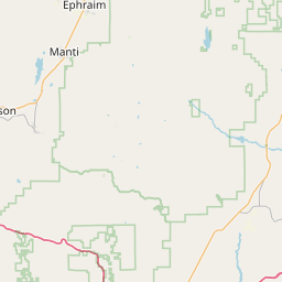
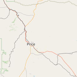
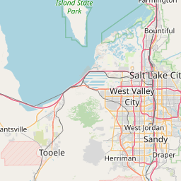
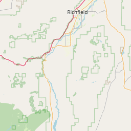
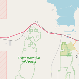
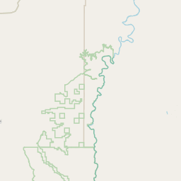
Relation: Sanpete County (1744367)
Version #7
Conforming Sanpete county boundaries to TIGER 2020
Tags
| admin_level | 6 |
|---|---|
| alt_name | Sanpete |
| attribution | USGS 2001 County Boundary |
| border_type | county |
| boundary | administrative |
| name | Sanpete County |
| nist:fips_code | 49039 |
| nist:state_fips | 49 |
| population | 28778 |
| source | county_import_v0.1_20080508235455 |
| type | boundary |
| wikidata | Q484577 |
| wikipedia | en:Sanpete County, Utah |
Members
13 members
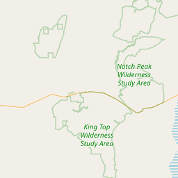
 Way 129193849 as outer
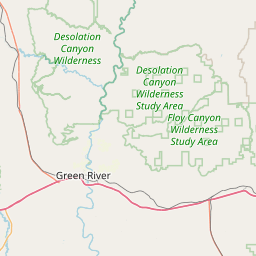
- Way 985541634 as outer
- Way 985541636 as outer
- Way 985541635 as outer
- Way 667614708 as outer
- Way 985541631 as outer
- Way 985541630 as outer
- Way 985541632 as outer
- Way 985541629 as outer
- Way 985541633 as outer
- Way 24315256 as outer
 Node Manti (150952045) as admin_centre
- Node Sanpete (316999532) as label
Welcome to OpenStreetMap!
OpenStreetMap is a map of the world, created by people like you and free to use under an open license.
Hosting is supported by Fastly, OSMF corporate members, and other partners.
| https://openstreetmap.org/copyright | https://openstreetmap.org |
| Copyright OpenStreetMap and contributors, under an open license | |