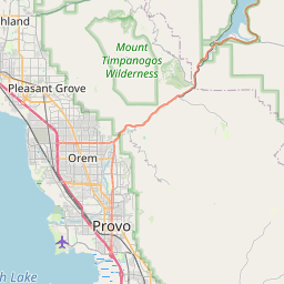
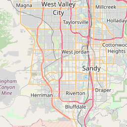
Relation: Utah County (1744370)
Version #19
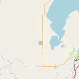
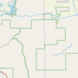
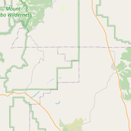
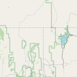
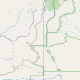
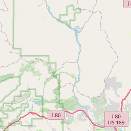
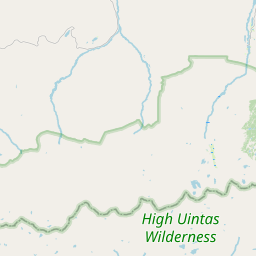
Rose Canyon, BLM, and Dugway boundaries
Tags
| admin_level | 6 |
|---|---|
| alt_name | Utah |
| attribution | USGS 2001 County Boundary |
| border_type | county |
| boundary | administrative |
| name | Utah County |
| name:ta | யூட்டா |
| nist:fips_code | 49049 |
| nist:state_fips | 49 |
| population | 575205 |
| source | county_import_v0.1_20080508235455 |
| source:population | https://www.census.gov/programs-surveys/popest.html |
| type | boundary |
| wikidata | Q27229 |
| wikipedia | en:Utah County, Utah |
Members
22 members
 Node Provo (150967832) as admin_centre
 Way 985228565 as outer
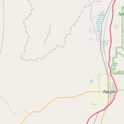
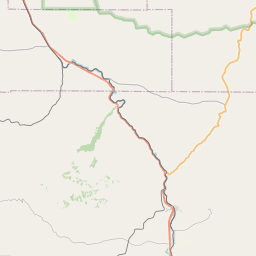
- Way 985282529 as outer
- Way 985282528 as outer
- Way 985282527 as outer
- Way 1117432956 as outer
- Way 1117432960 as outer
- Way 985282526 as outer
- Way 129193892 as outer
- Way 985545837 as outer
- Way 985545836 as outer
- Way 667614708 as outer
- Way 985541635 as outer
- Way 667614709 as outer
- Way 129193871 as outer
- Way 386179752 as outer
- Way 386179750 as outer
- Way 985228566 as outer
- Way 1025591055 as outer
- Way 1025591053 as outer
- Way 985228568 as outer
- Way 985228564 as outer
Welcome to OpenStreetMap!
OpenStreetMap is a map of the world, created by people like you and free to use under an open license.
Hosting is supported by Fastly, OSMF corporate members, and other partners.

| https://openstreetmap.org/copyright | https://openstreetmap.org |
| Copyright OpenStreetMap and contributors, under an open license | |