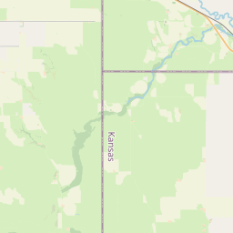
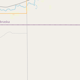
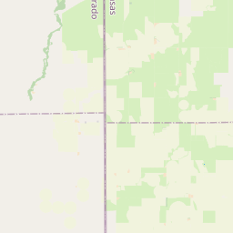
Relation: Cheyenne County (1070386)
Version #11
Added border_type=county
- Edited by Loren Maxwell
- Changeset #160390368
Tags
| admin_level | 6 |
|---|---|
| alt_name | Cheyenne |
| border_type | county |
| boundary | administrative |
| name | Cheyenne County |
| nist:fips_code | 20023 |
| nist:state_fips | 20 |
| ref | CN |
| type | boundary |
| wikidata | Q376483 |
| wikipedia | en:Cheyenne County, Kansas |
Part of
1 relation
 Kansas (161644) (as subarea)
Members
9 members
 Node Saint Francis (151409194) as admin_centre
- Node Cheyenne (316956003) as label
 Way 24315579 as outer
- Way 67976158 as outer
- Way 15807797 as outer
- Way 591930049 as outer
- Way 591930050 as outer
- Way 135219109 as outer
- Way 135219134 as outer
Welcome to OpenStreetMap!
OpenStreetMap is a map of the world, created by people like you and free to use under an open license.
Hosting is supported by Fastly, OSMF corporate members, and other partners.

| https://openstreetmap.org/copyright | https://openstreetmap.org |
| Copyright OpenStreetMap and contributors, under an open license | |