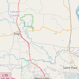
Relation: Lincoln County (1180494)
Version #14
Added border_type=county
- Edited by Loren Maxwell
- Changeset #160390894
Tags
| admin_level | 6 |
|---|---|
| alt_name | Lincoln |
| border_type | county |
| boundary | administrative |
| name | Lincoln County |
| nist:fips_code | 29113 |
| nist:state_fips | 29 |
| population | 54696 |
| type | boundary |
| wikidata | Q484582 |
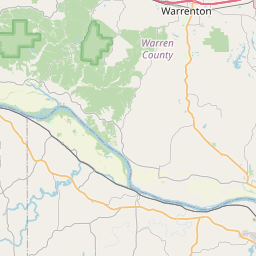
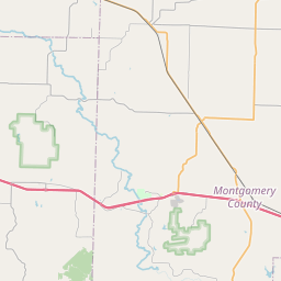
| wikipedia | en:Lincoln County, Missouri |
Members
15 members
 Node Troy (151850600) as admin_centre
- Node Lincoln (316970452) as label
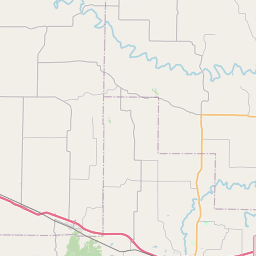
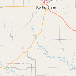
 Way 78389583 as outer
- Way 868230870 as outer
- Way 868230871 as outer
- Way 868230872 as outer
- Way 24315889 as outer
- Way 868230873 as outer
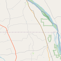
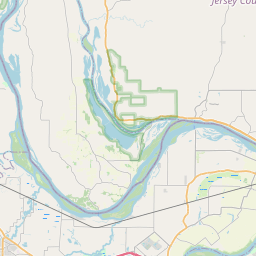
- Way Mississippi River (134249913) as outer
- Way 134249949 as outer
- Way Mississippi River (134249919) as outer
- Way 164108389 as outer
- Way Mississippi River (164108342) as outer
- Way 78389617 as outer
- Way 24315923 as outer
Welcome to OpenStreetMap!
OpenStreetMap is a map of the world, created by people like you and free to use under an open license.
Hosting is supported by Fastly, OSMF corporate members, and other partners.
| https://openstreetmap.org/copyright | https://openstreetmap.org |
| Copyright OpenStreetMap and contributors, under an open license | |