Relation: Neosho County (1070411)
Version #14
Added border_type=county
- Edited by Loren Maxwell
- Changeset #160390368
Tags
| admin_level | 6 |
|---|---|
| alt_name | Neosho |
| border_type | county |
| boundary | administrative |
| name | Neosho County |
| nist:fips_code | 20133 |
| nist:state_fips | 20 |
| population | 16346 |
| ref | NO |
| type | boundary |
| wikidata | Q375996 |
| wikipedia | en:Neosho County, Kansas |
Part of
1 relation
 Kansas (161644) (as subarea)
Members
8 members
 Way 67976051 as outer
- Way 986751461 as outer
- Way 986752658 as outer
- Way 986706845 as outer
- Way 986727839 as outer
- Way 986749013 as outer
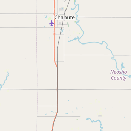
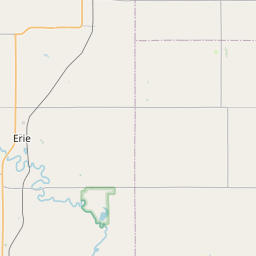
 Node Erie (151704602) as admin_centre
- Node Neosho (316955945) as label
Welcome to OpenStreetMap!
OpenStreetMap is a map of the world, created by people like you and free to use under an open license.
Hosting is supported by Fastly, OSMF corporate members, and other partners.
| https://openstreetmap.org/copyright | https://openstreetmap.org |
| Copyright OpenStreetMap and contributors, under an open license | |