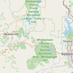
Relation: Humboldt County (396458)
Version #26
Added border_type=county
- Edited by Loren Maxwell
- Changeset #160388295
Tags
| admin_level | 6 |
|---|---|
| alt_name | Humboldt |
| attribution | CASIL cnty24k09_1_poly.shp |
| border_type | county |
| boundary | administrative |
| county:abbrev | HUM |
| county:ansi | 023 |
| county:name | Humboldt |
| name | Humboldt County |
| nist:fips_code | 6023 |
| nist:state_fips | 6 |
| population | 135727 |
| source:population | https://www.census.gov/programs-surveys/popest.html |
| type | boundary |
| wikidata | Q109651 |
| wikipedia | en:Humboldt County, California |
Part of
1 relation
 California (165475) (as subarea)
Members
29 members
 Way 1093732461 as outer
- Way 418379160 as outer
- Way 418379168 as outer
- Way 418379156 as outer
- Way 48995311 as outer
- Way 291107209 as outer
- Way 156697359 as outer
- Way 291107210 as outer
- Way 48995315 as outer
- Way 1320328408 as outer
- Way 1320328407 as outer
- Way 418388285 as outer
- Way 418388274 as outer
- Way 418388278 as outer
- Way 418388280 as outer
- Way 418388275 as outer
- Way 418388279 as outer
- Way 1094019476 as outer
- Way 197945848 as outer
- Way 197945842 as outer
- Way 48996077 as outer
- Way 418108208 as outer
- Way 48996057 as outer
- Way 418120500 as outer
- Way 197945836 as outer
- Way 48996007 as outer
- Way 1093732463 as outer
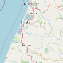
 Node Humboldt (316944787) as label
- Node Eureka (141034768) as admin_centre
Welcome to OpenStreetMap!
OpenStreetMap is a map of the world, created by people like you and free to use under an open license.
Hosting is supported by Fastly, OSMF corporate members, and other partners.


| https://openstreetmap.org/copyright | https://openstreetmap.org |
| Copyright OpenStreetMap and contributors, under an open license | |