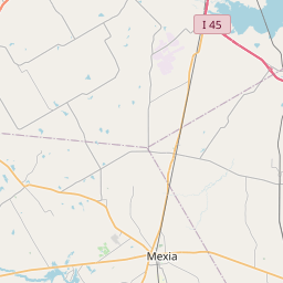
Relation: Leon County (1839082)
Version #25
Adding administrative boundary relations directly to Trinity River, and removing the duplicate boundaries (part 1)
- Edited by kaleidoscopica
- Changeset #162247685
Tags
| admin_level | 6 |
|---|---|
| alt_name | Leon |
| attribution | USGS 2001 County Boundary |
| border_type | county |
| boundary | administrative |
| name | Leon County |
| nist:fips_code | 48289 |
| nist:state_fips | 48 |
| population | 17086 |
| source | county_import_v0.1_20080508235502 |
| type | boundary |
| wikidata | Q27021 |
| wikipedia | en:Leon County, Texas |
Part of
1 relation
 Texas DPS Region 2 (14225465) (as subarea)
Members
26 members
 Node Leon (316997997) as label
- Node Centerville (151550428) as admin_centre
 Way 1021559853 as outer
- Way 136504538 as outer
- Way 1089878331 as outer
- Way 136504537 as outer
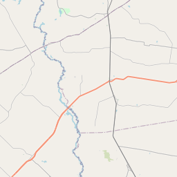
- Way Navasota River (872024532) as outer
- Way 874944720 as outer
- Way Navasota River (874944722) as outer
- Way Navasota River (874944725) as outer
- Way 874962525 as outer
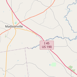
 Way Old San Antonio Road West (105644598) as outer
- Way Old San Antonio Road East (1228052270) as outer
- Way 874962526 as outer
- Way Old San Antonio Road East (21094912) as outer
- Way 874962534 as outer
- Way Old San Antonio Road East (21094882) as outer
- Way Old San Antonio Road East (154729022) as outer
- Way Old San Antonio Road East (1228053979) as outer
- Way Old San Antonio Road (154729024) as outer
- Way 874962533 as outer
- Way 872024538 as outer
- Way Trinity River (746341356) as outer
- Way 610928099 as outer
- Way Trinity River (746341358) as outer
- Way Trinity River (746341354) as outer
Welcome to OpenStreetMap!
OpenStreetMap is a map of the world, created by people like you and free to use under an open license.
Hosting is supported by Fastly, OSMF corporate members, and other partners.

| https://openstreetmap.org/copyright | https://openstreetmap.org |
| Copyright OpenStreetMap and contributors, under an open license | |