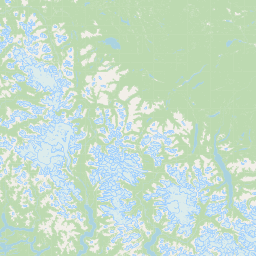
Relation: Grant County (1153147)
Version #15
Added border_type=county
- Edited by Loren Maxwell
- Changeset #160390499
Tags
| admin_level | 6 |
|---|---|
| border_type | county |
| boundary | administrative |
| name | Grant County |
| name:etymology:wikidata | Q34836 |
| nist:fips_code | 53025 |
| nist:state_fips | 53 |
| population | 93259 |
| source:population | https://www.census.gov/programs-surveys/popest.html |
| type | boundary |
| wikidata | Q281681 |
| wikipedia | en:Grant County, Washington |
Members
14 members
 Way 157039169 as outer
- Way 157043752 as outer
- Way 157042758 as outer
- Way 760406330 as outer
- Way 760406331 as outer
- Way 157042753 as outer
- Way 1158338309 as outer
- Way 1158338310 as outer
- Way 157042754 as outer
- Way 157042757 as outer
- Way 24303639 as outer
- Way 24303715 as outer
 Node Ephrata (150947188) as admin_centre
- Node Grant (317005159) as label
Welcome to OpenStreetMap!
OpenStreetMap is a map of the world, created by people like you and free to use under an open license.
Hosting is supported by Fastly, OSMF corporate members, and other partners.


| https://openstreetmap.org/copyright | https://openstreetmap.org |
| Copyright OpenStreetMap and contributors, under an open license | |