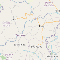
Relation: Los Santos (5740662)
Version #26
Fixing broken boundaries #MSFTOpenMaps
- Edited by Aleksandar1994
- Changeset #161661336
Tags
| ISO3166-2 | PA-7 |
|---|---|
| admin_level | 4 |
| boundary | administrative |
| name | Los Santos |
| name:en | Los Santos |
| name:ja | ロス・サントス県 |
| name:ru | Лос-Сантос |
| name:zh | 洛斯桑托斯省 |
| type | boundary |
| wikidata | Q911278 |
| wikipedia | en:Los Santos Province |
Part of
1 relation
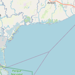
 Panamá (287668) (as subarea)
Members
26 members
 Way 483295305 as outer
- Way 1004344162 as outer
- Way 1114743795 as outer
- Way 1004344163 as outer
- Way 483295304 as outer
- Way Río La Villa (311211930) as outer
- Way Río La Villa (606169935) as outer
- Way Río La Villa (605982859) as outer
- Way Río La Villa (291835578) as outer
- Way Río La Villa (605981011) as outer
- Way Río La Villa (608123959) as outer
- Way Río La Villa (311211931) as outer
- Way Río La Villa (608124370) as outer
- Way Río La Villa (311214361) as outer
- Way Río La Villa (606113416) as outer
- Way 606113417 as outer
- Way 606155722 as outer
- Way 606155721 as outer
- Way 606155720 as outer
- Way 606155719 as outer
- Way 606155718 as outer
- Way 606155717 as outer
- Way 606154507 as outer
- Way 483296452 as outer
- Way 1004344161 as outer
 Node Las Tablas (3165861873) as admin_centre
Welcome to OpenStreetMap!
OpenStreetMap is a map of the world, created by people like you and free to use under an open license.
Hosting is supported by Fastly, OSMF corporate members, and other partners.


| https://openstreetmap.org/copyright | https://openstreetmap.org |
| Copyright OpenStreetMap and contributors, under an open license | |