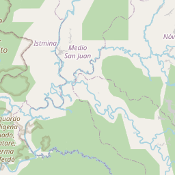
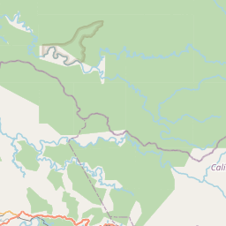
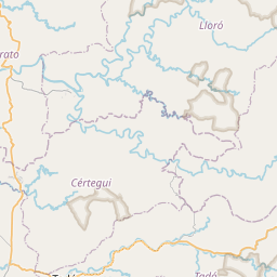
Relation: Istmina (1309472)
Version #19
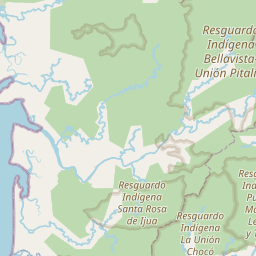
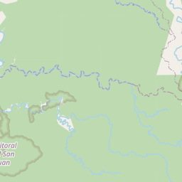
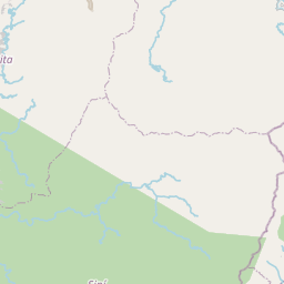
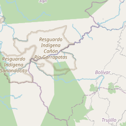
Resguardo Indígena Sanandocito
Tags
| DANE:area | 2000.00 |
|---|---|
| DANE:departamento | 27 |
| admin_level | 6 |
| boundary | administrative |
| clcfile | MunicipiosDepartamentos/ADM_Municipios.shp |
| divipola | 27361 |
| entidad_te | Cabecera Municipal |
| is_in:country | Colombia |
| is_in:state | Chocó |
| name | Istmina |
| objectid | 4063 |
| source | OCHA - SIGOT |
| type | boundary |
| wikidata | Q1441410 |
| wikipedia | es:Istmina |
Members
30 members
 Node Istmina (1633233368) as admin_centre
 Way Istmina-Sipí Municipal Boundary (88463697) as outer
- Way Istmina-Sipí Municipal Boundary (1242081969) as outer
- Way Bajo Baudó-Istmina Municipal Boundary (98512661) as outer
- Way 754017443 as outer
- Way 231563741 as outer
- Way Istmina-Medio San Juan Municipal Boundary (98512628) as outer
- Way Istmina-Medio Baudó Municipal Boundary (88463683) as outer
- Way Istmina-Medio Baudó Municipal Boundary (1236762523) as outer
- Way Istmina-Medio Baudó Municipal Boundary (1236762522) as outer
- Way Istmina-Tadó Municipal Boundary (92516191) as outer
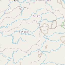
- Way Istmina-Río Iró Municipal Boundary (88124696) as outer
Welcome to OpenStreetMap!
OpenStreetMap is a map of the world, created by people like you and free to use under an open license.
Hosting is supported by Fastly, OSMF corporate members, and other partners.


| https://openstreetmap.org/copyright | https://openstreetmap.org |
| Copyright OpenStreetMap and contributors, under an open license | |