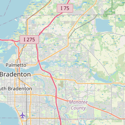
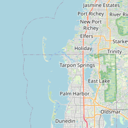
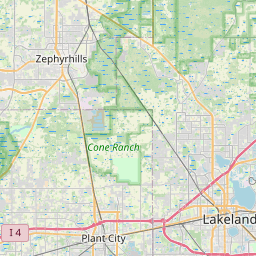
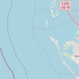
Relation: Hillsborough County (1210701)
Version #18
added info to admin lev 6 and sidewalk
Tags
| admin_level | 6 |
|---|---|
| alt_name | Hillsborough |
| border_type | county |
| boundary | administrative |
| name | Hillsborough County |
| name:el | Κομητεία Χίλσμπορο |
| nist:fips_code | 12057 |
| nist:state_fips | 12 |
| population | 1349050 |
| ref | 12-057 |
| source:population | https://www.census.gov/programs-surveys/popest.html |
| start_date | 1834-01-25 |
| type | boundary |
| website | https://www.hillsboroughcounty.org/ |
| wikidata | Q488874 |
| wikipedia | en:Hillsborough County, Florida |
Part of
2 relations
 Florida (162050) (as subarea)
Members
17 members
 Way 80670286 as outer
- Way 80670682 as outer
- Way 1039877586 as outer
- Way 1039877587 as outer
- Way 1039877591 as outer
- Way 1039877590 as outer
- Way 1039877589 as outer
- Way 1039877592 as outer
- Way 80670584 as outer
- Way 238364636 as outer
- Way 238364647 as outer
- Way 1039888838 as outer
- Way 1039888837 as outer
- Way 80670284 as outer
- Way 80670804 as outer
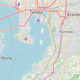
 Node Tampa (153970120) as admin_centre
- Node Hillsborough (2669971441) as label
Welcome to OpenStreetMap!
OpenStreetMap is a map of the world, created by people like you and free to use under an open license.
Hosting is supported by Fastly, OSMF corporate members, and other partners.


| https://openstreetmap.org/copyright | https://openstreetmap.org |
| Copyright OpenStreetMap and contributors, under an open license | |