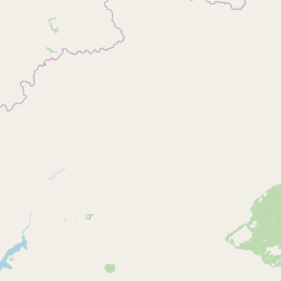
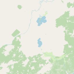
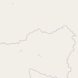
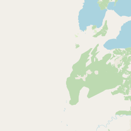
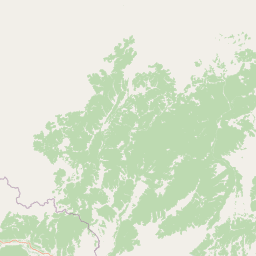
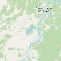
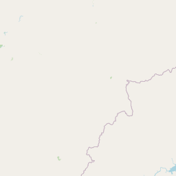
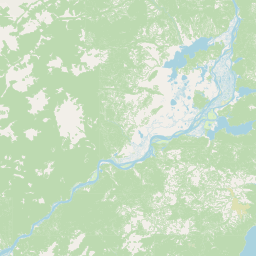
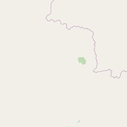
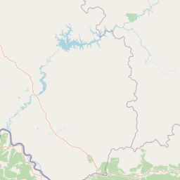
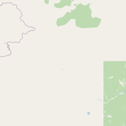
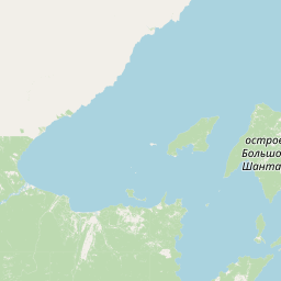
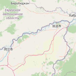
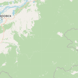
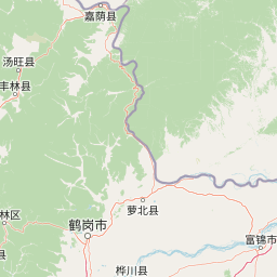
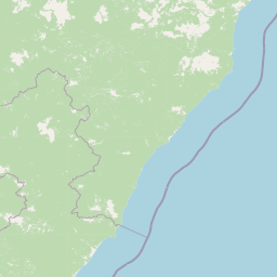
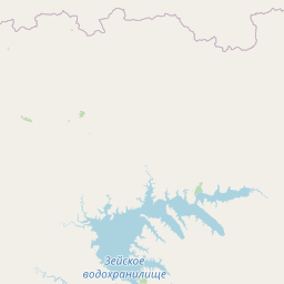
Relation: Солнечный район (1651687)
Version #28
reverted automated translations for places which don't have such a name, not allowed, see https://www.openstreetmap.org/user/avinet_ua/blocks, one of his banned accounts, also see discussion on changeset 140296500
- Edited by dpolovinkin
- Changeset #151658844
Tags
| addr:country | RU |
|---|---|
| addr:region | Хабаровский край |
| admin_level | 6 |
| boundary | administrative |
| name | Солнечный район |
| name:en | Solnechny Rayon |
| name:ja | ソルネチェニイ地区 |
| name:ru | Солнечный район |
| official_status | ru:муниципальный район |
| type | boundary |
| wikidata | Q826675 |
| wikipedia | ru:Солнечный район |
Part of
1 relation
 Хабаровский край (151223) (as subarea)
Members
27 members
 Way 120412574 as outer
- Way 226927709 as outer
- Way 226927662 as outer
- Way 226936116 as outer
- Way 226931035 as outer
- Way 226936118 as outer
- Way 340675265 as outer
- Way 120412568 as outer
- Way 409605330 as outer
- Way 409605331 as outer
- Way 248625673 as outer
- Way 340675281 as outer
- Way 248625675 as outer
- Way 120412576 as outer
- Way 248616730 as outer
 Node Солнечный (1028724036) as admin_centre
- Relation Берёзовское сельское поселение (3530488) as subarea
- Relation Горненское сельское поселение (4835432) as subarea
- Relation Дукинское сельское поселение (4835433) as subarea
- Relation Харпичанское сельское поселение (4835434) as subarea
- Relation Хурмулинское сельское поселение (4835435) as subarea
- Relation городское поселение Солнечный (4835436) as subarea
- Relation сельское поселение Амгунь (4835437) as subarea
- Relation сельское поселение Горин (4835438) as subarea
- Relation сельское поселение Джамку (4835439) as subarea
- Relation сельское поселение Село Кондон (4835440) as subarea
- Relation сельское поселение Село Эворон (4835441) as subarea
Welcome to OpenStreetMap!
OpenStreetMap is a map of the world, created by people like you and free to use under an open license.
Hosting is supported by Fastly, OSMF corporate members, and other partners.

| https://openstreetmap.org/copyright | https://openstreetmap.org |
| Copyright OpenStreetMap and contributors, under an open license | |