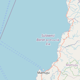
Relation: Sulawesi Barat (2388669)
Version #34
Unifying names of administrative boundaries
- Edited by Aleksandar Matejevic
- Changeset #166207284
Tags
| ISO3166-2 | ID-SR |
|---|---|
| admin_level | 4 |
| alt_name:ar | سولاويسي الغربية |
| boundary | administrative |
| name | Sulawesi Barat |
| name:ar | سولاوسي الغربية |
| name:bug | ᨔᨘᨒᨓᨙᨔᨗ ᨅᨑ |
| name:cs | Západní Sulawesi |
| name:de | West-Sulawesi |
| name:en | West Sulawesi |
| name:es | Célebes Occidental |
| name:id | Sulawesi Barat |
| name:ja | 西スラウェシ |
| name:nl | West-Celebes |
| name:pl | Celebes Zachodni |
| name:ru | Западный Сулавеси |
| name:su | ᮞᮥᮜᮝᮨᮞᮤ ᮊᮥᮜᮧᮔ᮪ |
| name:su-Latn | Sulawesi Kulon |
| name:uk | Західне Сулавесі |
| name:zh | 西苏拉威西省 |
| population | 1460753 |
| population:date | 2024 |
| ref | SR-33 |
| ref:kemendagri | 76 |
| short_name | Sulbar |
| source:population | Data Kependudukan Bersih (DKB) Kemendagri RI |
| timezone | Asia/Makassar |
| type | boundary |
| website | https://www.sulbarprov.go.id/ |
| wikidata | Q5082 |
| wikipedia | id:Sulawesi Barat |
Part of
2 relations
 Indonesia (304751) (as subarea)
- Sulawesi (7226110) (as subarea)
Members
22 members
 Node Mamuju (2339328548) as admin_centre
- Node Sulawesi Barat (1898306525) as label
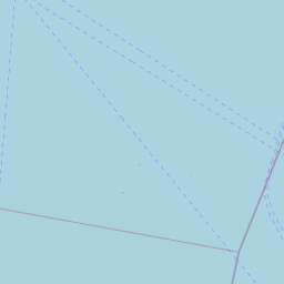
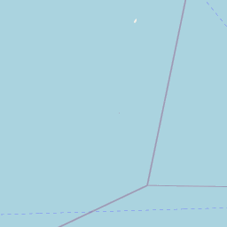
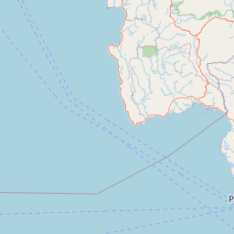
 Way 286337690 as outer
- Way 286425788 as outer
- Way 178959126 as outer
- Way 1118501658 as outer
- Way 1118501657 as outer
- Way 291885053 as outer
- Way 629183282 as outer
- Way 1118501656 as outer
- Way 1118501654 as outer
- Way 629775864 as outer
- Way 1108867634 as outer
- Way 1108867636 as outer
- Way 1108867637 as outer
- Way 1118501655 as outer
- Way 776819800 as outer
- Way 629775867 as outer
- Way 1118501669 as outer
- Way 1108515224 as outer
- Way 1108515223 as outer
- Way 746005619 as outer
Welcome to OpenStreetMap!
OpenStreetMap is a map of the world, created by people like you and free to use under an open license.
Hosting is supported by Fastly, OSMF corporate members, and other partners.


| https://openstreetmap.org/copyright | https://openstreetmap.org |
| Copyright OpenStreetMap and contributors, under an open license | |