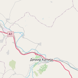
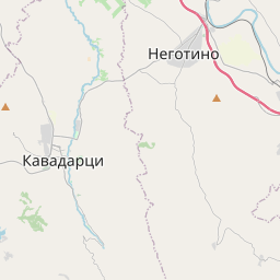
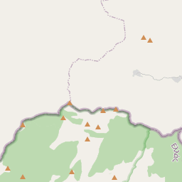
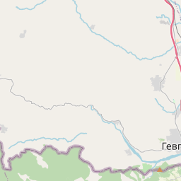
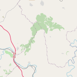
Relation: Општина Демир Капија (2577810)
Version #14
name:el
Tags
| ISO3166-2 | MK-103 |
|---|---|
| admin_level | 7 |
| boundary | administrative |
| int_name | Opština Demir Kapija |
| name | Општина Демир Капија |
| name:el | Δήμος Ντεμίρ Καπίγια |
| name:en | Municipality of Demir Kapija |
| type | boundary |
| wikidata | Q2370973 |
| wikipedia | mk:Општина Демир Капија |
Part of
1 relation
 Северна Македонија (53293) (as subarea)
Members
30 members
 Way 459588889 as outer
- Way 462182841 as outer
- Way 462182854 as outer
- Way 459588892 as outer
- Way 459588885 as outer
- Way 191055617 as outer
- Way 462182822 as outer
- Way 459588880 as outer
- Way 459588877 as outer
- Way 459588871 as outer
- Way 462182861 as outer
- Way 462182869 as outer
- Way 459588872 as outer
- Way 191055615 as outer
- Way 462182870 as outer
- Way 192081485 as outer
- Way 462182866 as outer
- Way 437956807 as outer
- Way 437956799 as outer
- Way 192235656 as outer
- Way 462182814 as outer
- Way 462182829 as outer
- Way 462182838 as outer
- Way 437766280 as outer
- Way 462182817 as outer
- Way 191055616 as outer
- Way 462182840 as outer
- Way 437766299 as outer
- Way 437766292 as outer
 Node Демир Капија (420488854) as admin_centre
Welcome to OpenStreetMap!
OpenStreetMap is a map of the world, created by people like you and free to use under an open license.
Hosting is supported by Fastly, OSMF corporate members, and other partners.
| https://openstreetmap.org/copyright | https://openstreetmap.org |
| Copyright OpenStreetMap and contributors, under an open license | |