Loading...
Node: Place des Alliés (10969040856)
Version #2
ajout d'informations
- Edited by chamdam
- Changeset #137238743
- Location: 43.3382287, 3.2064189
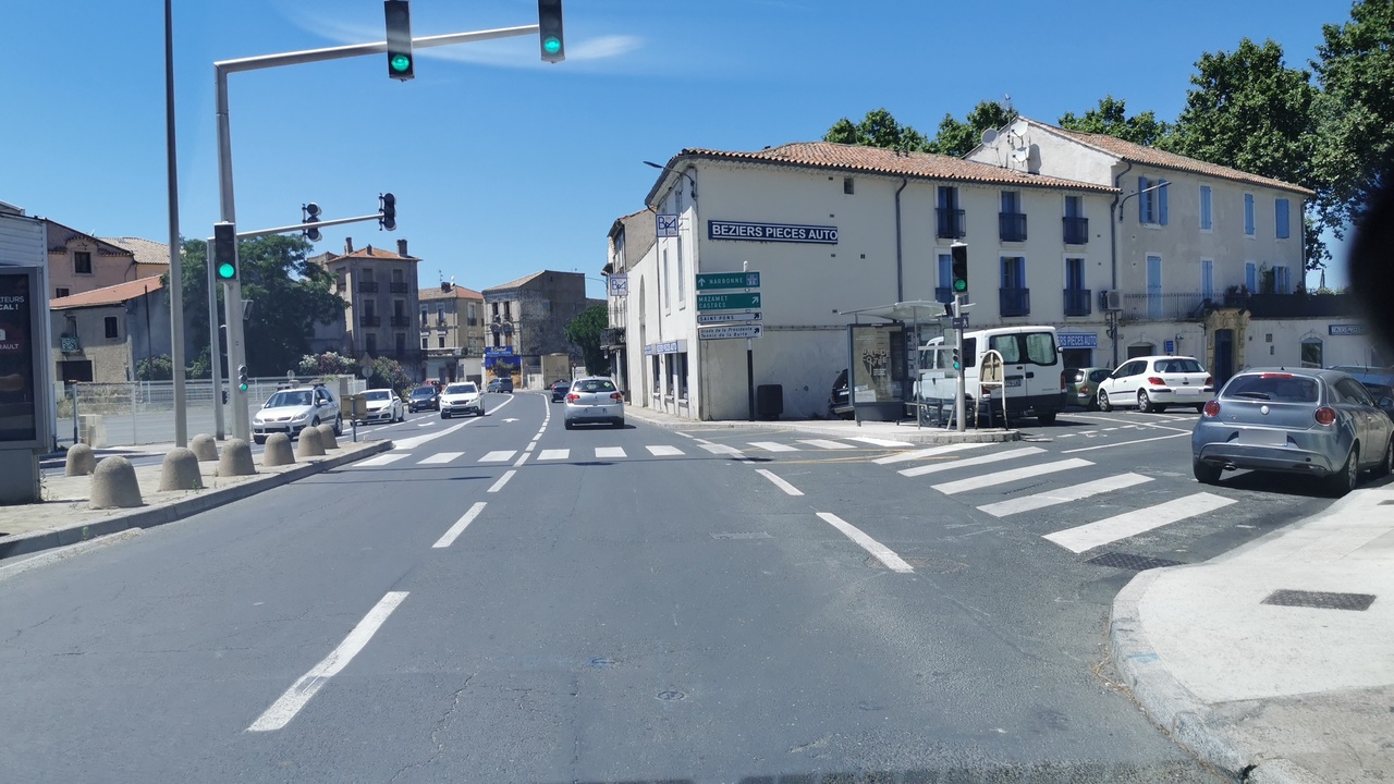
Tags
| bench | yes |
|---|---|
| bus | yes |
| highway | bus_stop |
| image | https://storage13.openstreetcam.org/files/photo/2020/7/17/lth/2768714_fe711_5f1179d0729ab.jpg |
| name | Place des Alliés |
| public_transport | platform |
| shelter | yes |
| survey:date | 2020-07-17 |
Part of
7 relations
- Relation Bus 9 : De Gaulle → Les Saules (16142393) (as platform)
- Relation Ligne 654 : Béziers → La Salvetat-sur-Agout (16751957) (as platform)
- Relation Ligne 642 : Béziers → Montouliers (16368293) (as platform)
- Relation Bus F : De Gaulle → Gasquinoy (12691022) (as platform)
- Relation Bus 15 : Place des Alliés → École Nelson Mandela (16221888) (as platform_entry_only)
- Relation Ligne 643 : Béziers → Roquebrun (16399769) (as platform)
- Relation Ligne 643 : Béziers → Cazedarnes → Roquebrun (16403976) (as platform)
Welcome to OpenStreetMap!
OpenStreetMap is a map of the world, created by people like you and free to use under an open license.
Hosting is supported by Fastly, OSMF corporate members, and other partners.
| https://openstreetmap.org/copyright | https://openstreetmap.org |
| Copyright OpenStreetMap and contributors, under an open license | |