Loading...
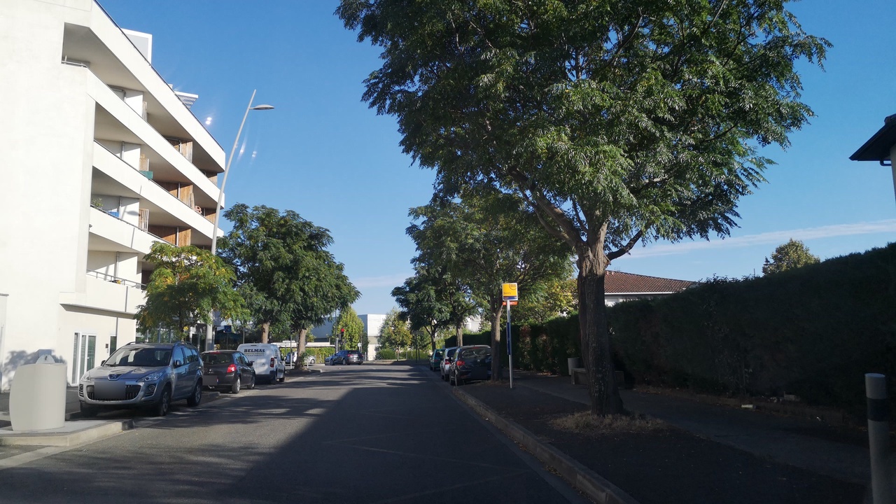
Node: Savary (1718456034)
Version #13
Add whether public transport stops are lit
- Edited by Toffer12
- Changeset #137906687
- Location: 43.6511707, 1.3735911
Tags
| alt_name | R Sand/Ar Savary |
|---|---|
| bench | yes |
| bin | yes |
| bus | yes |
| description | utilisé également pour les transports scolaires du Conseil Régional (voir alt_name) |
| highway | bus_stop |
| image | http://storage9.openstreetcam.org/files/photo/2018/9/29/lth/1294289_1_1bca8_54.jpg |
| lit | no |
| name | Savary |
| pole | yes |
| public_transport | platform |
| ref | 16471 |
| ref:FR:Tisseo | 16471 |
| shelter | no |
| source | http://data.grandtoulouse.fr |
| source:date | 2012-04-04 |
| survey:date | 2018-09-29 |
| tactile_paving | no |
| wheelchair | yes |
Part of
3 relations
- Relation Bus 74: Mondonville Moulis → Andromède-Lycée (442766) (as platform)
- Relation Bus 74: Mondonville Moulis → Collège Mermoz (3248652) (as platform)
- Relation transport scolaire - Beauzelle - Collège Beauzelle S7111R01 (15817296) (as platform_entry_only)
Welcome to OpenStreetMap!
OpenStreetMap is a map of the world, created by people like you and free to use under an open license.
Hosting is supported by Fastly, OSMF corporate members, and other partners.
| https://openstreetmap.org/copyright | https://openstreetmap.org |
| Copyright OpenStreetMap and contributors, under an open license | |