Loading...
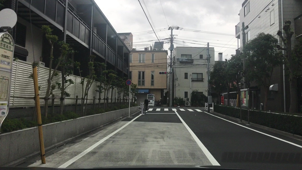
Node: 赤塚高台 (2164196851)
Version #10
建物を追加しました。
- Edited by Vaporeon2801
- Changeset #150122527
- Location: 35.7779557, 139.6376967
Tags
| bus | yes |
|---|---|
| highway | bus_stop |
| image | http://storage6.openstreetcam.org/files/photo/2017/9/16/lth/663257_b8f34_12.jpg |
| name | 赤塚高台 |
| name:en | Akatsuka takadai |
| name:ja | 赤塚高台 |
| name:ja_kana | あかつかたかだい |
| name:ja_rm | Akatsuka takadai |
| network | 国際興業バス |
| network:en | Kokusai Kogyo Bus |
| network:ja | 国際興業バス |
| network:wikidata | Q11422566 |
| operator | 国際興業 |
| pole | yes |
| public_transport | platform |
| shelter | no |
| survey:date | 2017-09-16 |
Part of
2 relations
- Relation 赤02 (2811957)
- Relation 赤02-2 (2811958)
Welcome to OpenStreetMap!
OpenStreetMap is a map of the world, created by people like you and free to use under an open license.
Hosting is supported by Fastly, OSMF corporate members, and other partners.
| https://openstreetmap.org/copyright | https://openstreetmap.org |
| Copyright OpenStreetMap and contributors, under an open license | |