Loading...
Node: בית מאיר (246826967)
Version #13
קישור לוויקינתונים
- Edited by YaronS
- Changeset #144980023
- Location: 31.7938835, 35.0360826
Tags
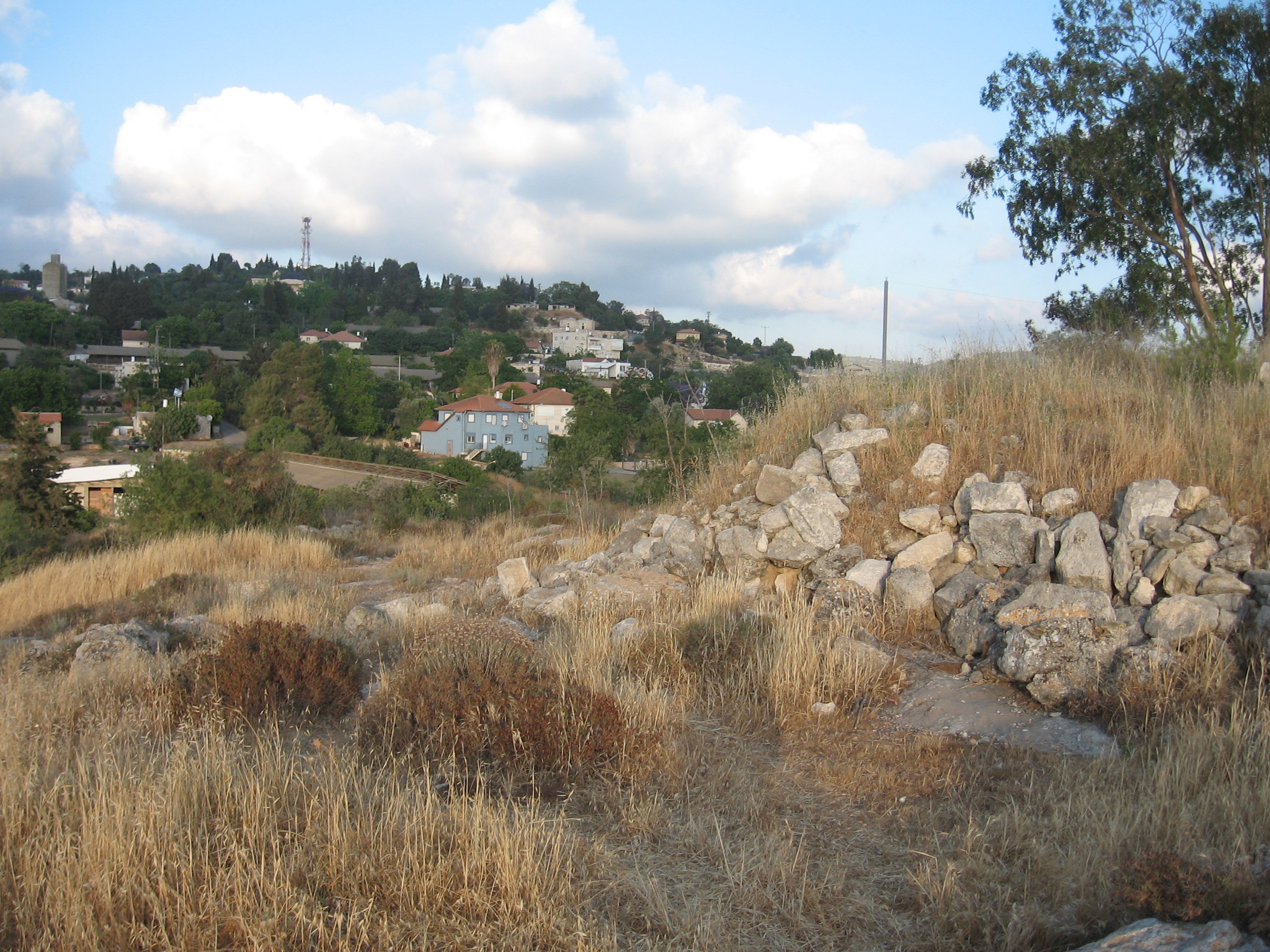
| description | בֵּית מֵאִיר הוא מושב במועצה אזורית מטה יהודה, צפונית לבית שמש, באמצע יער הקדושים. |
|---|---|
| description:he | בֵּית מֵאִיר הוא מושב במועצה אזורית מטה יהודה, צפונית לבית שמש, באמצע יער הקדושים. |
| gns_ref | -779451 |
| image | https://upload.wikimedia.org/wikipedia/commons/f/f0/Beth_mehir_A.JPG |
| image1 | https://upload.wikimedia.org/wikipedia/commons/9/94/Panorama_feom_west.JPG |
| image2 | https://upload.wikimedia.org/wikipedia/commons/f/f0/Beth_mehir_A.JPG |
| name | בית מאיר |
| name:ar | بيت مئير |
| name:cs | Bejt Me'ir |
| name:en | Beit Meir |
| name:fr | Beit Meir |
| name:he | בית מאיר |
| place | village |
| source | GEOnet Names Server (gns) |
| wikidata | Q2778236 |
| wikipedia | he:בית מאיר |
| wikipedia:en | Beit Meir |
| wikipedia:he | בית מאיר |
Welcome to OpenStreetMap!
OpenStreetMap is a map of the world, created by people like you and free to use under an open license.
Hosting is supported by Fastly, OSMF corporate members, and other partners.
| https://openstreetmap.org/copyright | https://openstreetmap.org |
| Copyright OpenStreetMap and contributors, under an open license | |