Loading...
Node: Burg-Reuland (260087044)
Version #22
Fix missing URL scheme and/or upgrade URL scheme to HTTPS for URLs within the ISO8166-2 region of BE-WAL that supports secure connection
- Edited by cEvLGWiQ
- Changeset #140442289
- Location: 50.1967468, 6.1342559
Tags
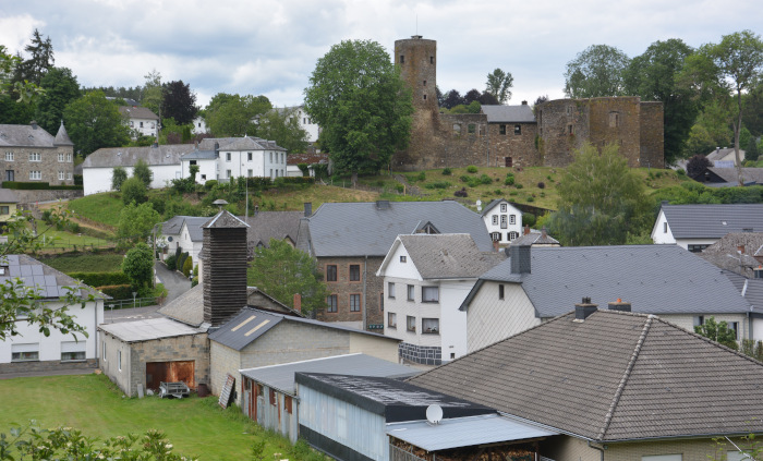
| image | https://sonnige-pfade.de/wp-content/uploads/2020/06/026_Vennbahn_Burg_Reuland.jpg |
|---|---|
| name | Burg-Reuland |
| name:fr | Burg-Reuland |
| name:lb | Reiland |
| name:ru | Бург-Ройланд |
| place | village |
| population | 4001 |
| population:date | 2012 |
| postal_code | 4790 |
| website | https://www.burg-reuland.be |
| wikidata | Q159981 |
| wikipedia | de:Burg-Reuland |
Part of
1 relation
- Relation Burg-Reuland (2436182) (as admin_centre)
Welcome to OpenStreetMap!
OpenStreetMap is a map of the world, created by people like you and free to use under an open license.
Hosting is supported by Fastly, OSMF corporate members, and other partners.
| https://openstreetmap.org/copyright | https://openstreetmap.org |
| Copyright OpenStreetMap and contributors, under an open license | |