Loading...
Relation History: Frösviksrundan (MTB) (10551352)
Version #6
Update Frösviksrundan from survey, including some validation fixes.
Tags
| mtb:scale | 2 |
|---|---|
| name | Frösviksrundan (MTB) |
| route | mtb |
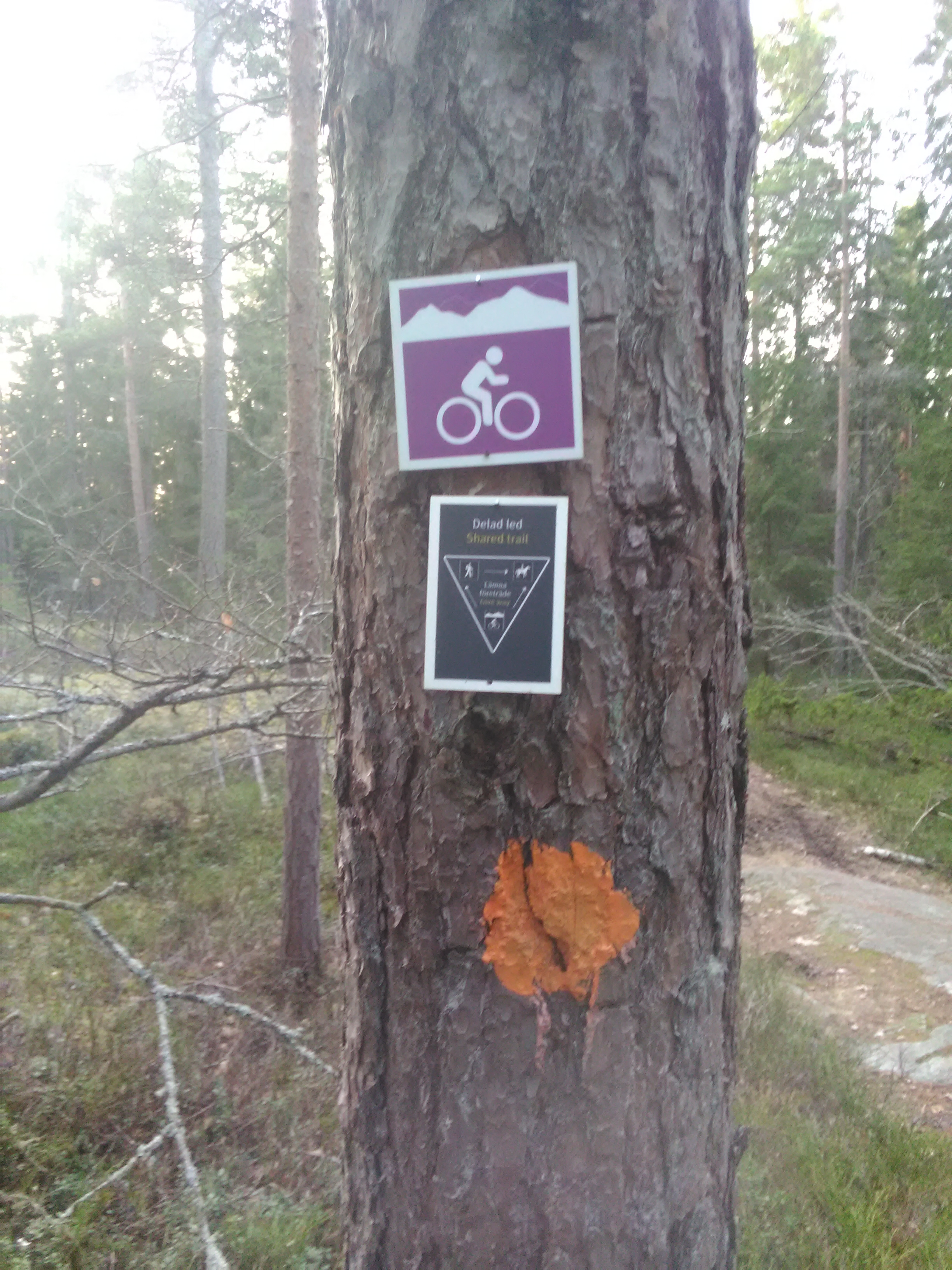
| symbol | white bicyclist on violet background |
| symbol:url | https://wiki.openstreetmap.org/w/images/b/b5/Bogesundslandets_MTB_skyltar.jpeg |
| type | route |
Members
Version #5
corrections of path
Tags
| mtb:scale | 2 |
|---|---|
| name | Frösviksrundan (MTB) |
| route | mtb |
| symbol | white bicyclist on violet background |
| symbol:url | https://wiki.openstreetmap.org/w/images/b/b5/Bogesundslandets_MTB_skyltar.jpeg |
| type | route |
Members
Version #4
Add Stortallsrundan as hiking-trail in Bogesund, Sweden, as a new relation
- Edited by ppuschmann
- Changeset #112802255
Tags
| mtb:scale | 2 |
|---|---|
| name | Frösviksrundan (MTB) |
| route | mtb |
| symbol | white bicyclist on violet background |
| symbol:url | https://wiki.openstreetmap.org/w/images/b/b5/Bogesundslandets_MTB_skyltar.jpeg |
| type | route |
Members
Version #3
Add Frösviksrundan as hiking-trail in Bogesund, Sweden, as a new relation
- Edited by ppuschmann
- Changeset #112794802
Tags
| mtb:scale | 2 |
|---|---|
| name | Frösviksrundan (MTB) |
| route | mtb |
| symbol | white bicyclist on violet background |
| symbol:url | https://wiki.openstreetmap.org/w/images/b/b5/Bogesundslandets_MTB_skyltar.jpeg |
| type | route |
Members
Version #2
update cycle route and road surfaces
Tags
| mtb:scale | 2 |
|---|---|
| name | Frösviksrundan |
| route | mtb |
| symbol | white bicyclist on violet background |
| symbol:url | https://wiki.openstreetmap.org/w/images/b/b5/Bogesundslandets_MTB_skyltar.jpeg |
| type | route |
Members
Welcome to OpenStreetMap!
OpenStreetMap is a map of the world, created by people like you and free to use under an open license.
Hosting is supported by Fastly, OSMF corporate members, and other partners.
| https://openstreetmap.org/copyright | https://openstreetmap.org |
| Copyright OpenStreetMap and contributors, under an open license | |