Loading...
Way: Dauchinger Straße (1000586013)
Version #3
Gehwege hinzufügen und verbessern + Führung von Routen verbessern
- Edited by deleted
- Changeset #134507139
Tags
| cycleway:both | separate |
|---|---|
| highway | secondary |
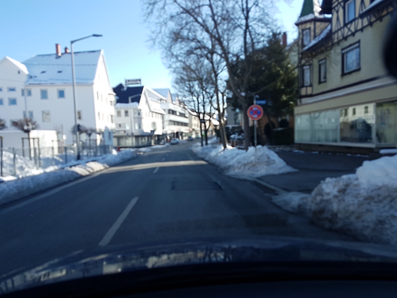
| image | https://storage13.openstreetcam.org/files/photo/2020/8/22/lth/2942786_acc4b_5f41876644a7e.jpg |
| lit | yes |
| maxspeed | 50 |
| name | Dauchinger Straße |
| ref | L 423 |
| sidewalk:both | separate |
| surface | asphalt |
| survey:date | 2020-08-22 |
Part of
3 relations
- Relation 19-29 (11599151)
- Relation Landesstraße 423 (2749437)
- Relation Linie 750 (11866044)
Nodes
6 nodes
- 305633696 (part of ways Friedhofstraße (27416373) and Dauchinger Straße (942877124))
- 305633695 (part of way Hölderlinstraße (27837308))
- 302312207 (part of way Herweghstraße (27536520))
- 9675641724 (part of way 1159717335)
- 307667238 (part of way Pfaustraße (28018936))
- 206355078 (part of ways Weilersbacher Straße (27536521) and Dauchinger Straße (633308736))
Welcome to OpenStreetMap!
OpenStreetMap is a map of the world, created by people like you and free to use under an open license.
Hosting is supported by Fastly, OSMF corporate members, and other partners.
| https://openstreetmap.org/copyright | https://openstreetmap.org |
| Copyright OpenStreetMap and contributors, under an open license | |