Loading...
Way: N21;21 (1080498118)
Version #1
railway landuse
Tags
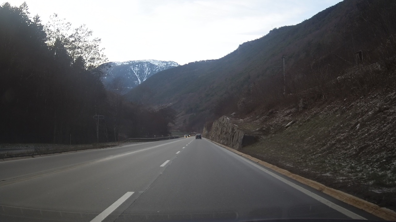
| highway | primary |
|---|---|
| image | https://storage8.openstreetcam.org/files/photo/2018/12/29/lth/1320005_24c58_121.jpg |
| int_ref | E 27 |
| lanes | 3 |
| lanes:backward | 2 |
| lanes:forward | 1 |
| lit | no |
| loc_name | 21 |
| maxspeed | 80 |
| nat_name | N21 |
| ref | N21;21 |
| survey:date | 2018-12-29 |
Part of
3 relations
- Relation Main road 21 (8310632)
- Relation Bus 211: Martigny, gare => Aosta, Autostazione (3361513)
- Relation European route E27 (79090)
Nodes
9 nodes
- 312363021 (part of ways N21;21 (28429936) and N21;21 (28278066))
- 80076324
- 389028230 (part of way 33946700)
- 9903742198
- 80076323
- 9903742196
- 2852748849
- 80076322
- 80076321 (part of way N21;21 (1218106854))
Welcome to OpenStreetMap!
OpenStreetMap is a map of the world, created by people like you and free to use under an open license.
Hosting is supported by Fastly, OSMF corporate members, and other partners.
| https://openstreetmap.org/copyright | https://openstreetmap.org |
| Copyright OpenStreetMap and contributors, under an open license | |