Loading...
Way: 1150624640
Version #1
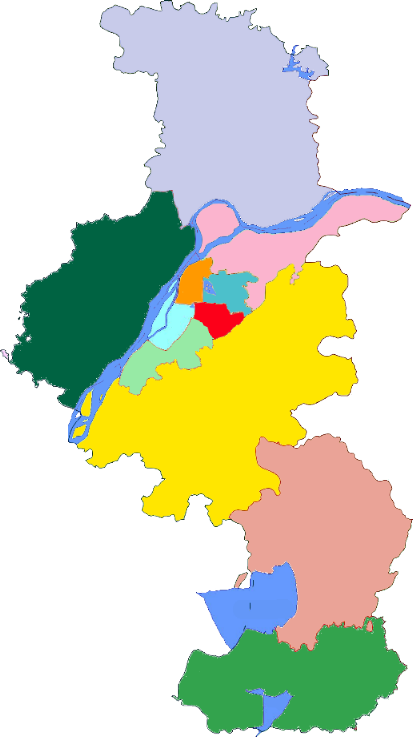
江宁区乡镇界
- Edited by Rukkhadevata
- Changeset #133198113
Tags
| admin_level | 6 |
|---|---|
| boundary | administrative |
| source | http://upload.wikimedia.org/wikipedia/commons/3/3a/Subdivisions_of_Nanjing-China.png |
Part of
4 relations
- Relation 石湫街道 (15567449) (as outer)
- Relation 溧水区 (2147643) (as outer)
- Relation 江宁区 (2147642) (as outer)
- Relation 横溪街道 (15548251) (as outer)
Nodes
9 nodes
- 2596456971 (part of ways 苏皖界 (376992744) and 苏皖界 (847018811))
- 9028929255 (part of ways 253770150 and 975678721)
- 7238141544
- 3803637130
- 7238141543
- 3803637131
- 3803637132
- 2616956241
- 2616956242 (part of ways 376992745 and 1149818300)
Welcome to OpenStreetMap!
OpenStreetMap is a map of the world, created by people like you and free to use under an open license.
Hosting is supported by Fastly, OSMF corporate members, and other partners.
| https://openstreetmap.org/copyright | https://openstreetmap.org |
| Copyright OpenStreetMap and contributors, under an open license | |