Loading...
Way: Pfarrgäßchen (169451801)
Version #7
tanna 4
- Edited by Makkaroni_100
- Changeset #125675614
Tags
| access | destination |
|---|---|
| alt_name | Pfarrgässchen |
| highway | service |
| name | Pfarrgäßchen |
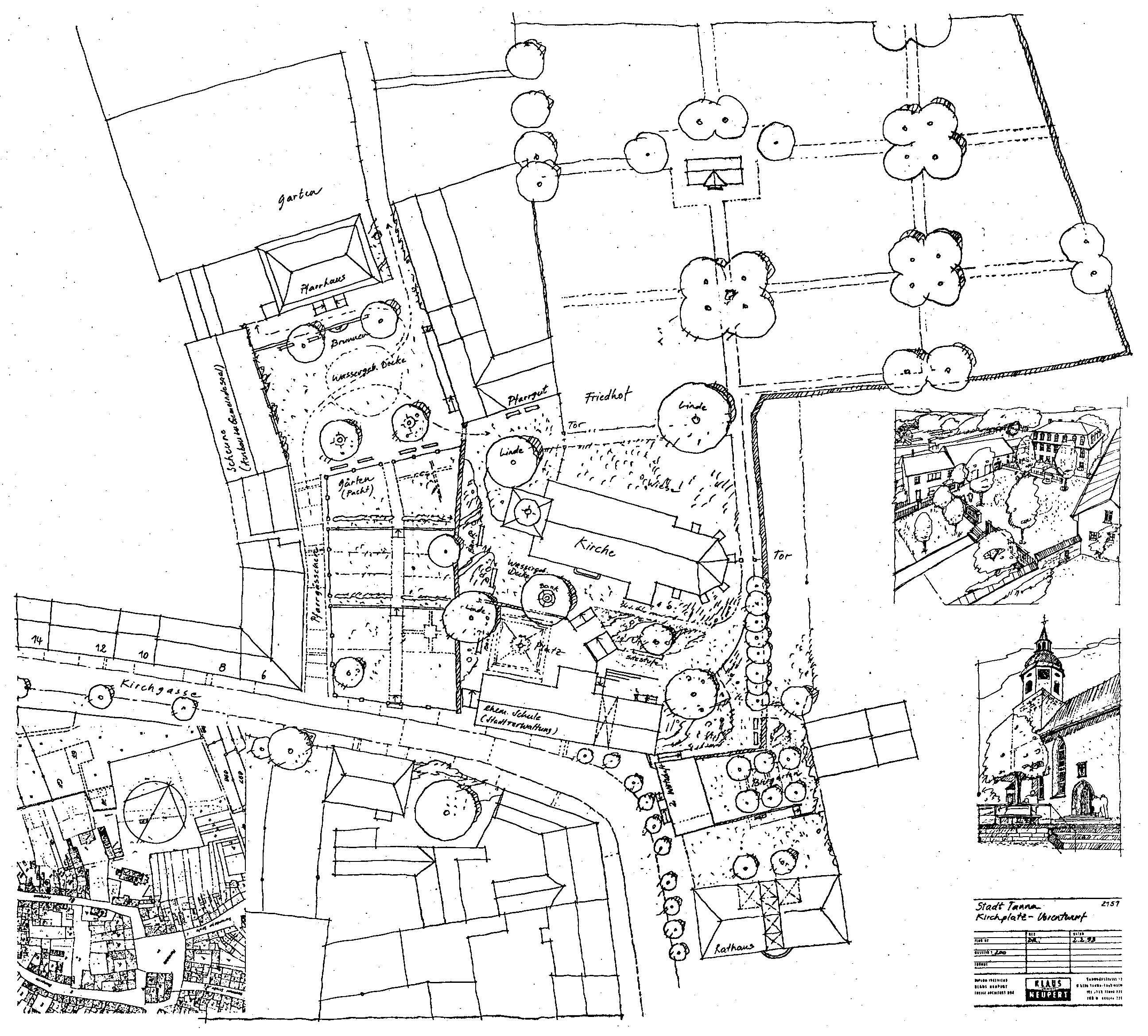
| source | http://alte-schule-tanna.de/wp-content/uploads/2012/11/Kirchplatz.png |
Nodes
10 nodes
- 1806136658 (part of way Kirchgasse (178997211))
- 2933547152
- 1806136671
- 9993857991 (part of way 1091122513)
- 9993857993 (part of way 1091122514)
- 1806136681
- 1806136683 (part of way 1091122499)
- 1806136690
- 9993857961 (part of way 1091122506)
- 1806136700 (part of way 1091122519)
Welcome to OpenStreetMap!
OpenStreetMap is a map of the world, created by people like you and free to use under an open license.
Hosting is supported by Fastly, OSMF corporate members, and other partners.
| https://openstreetmap.org/copyright | https://openstreetmap.org |
| Copyright OpenStreetMap and contributors, under an open license | |