Loading...
Way: Gutenzeller Straße (235187823)
Version #6
Ortsschild Edelbeuren erstellt
- Edited by Arne Schwarck
- Changeset #90941974
Tags
| highway | tertiary |
|---|---|
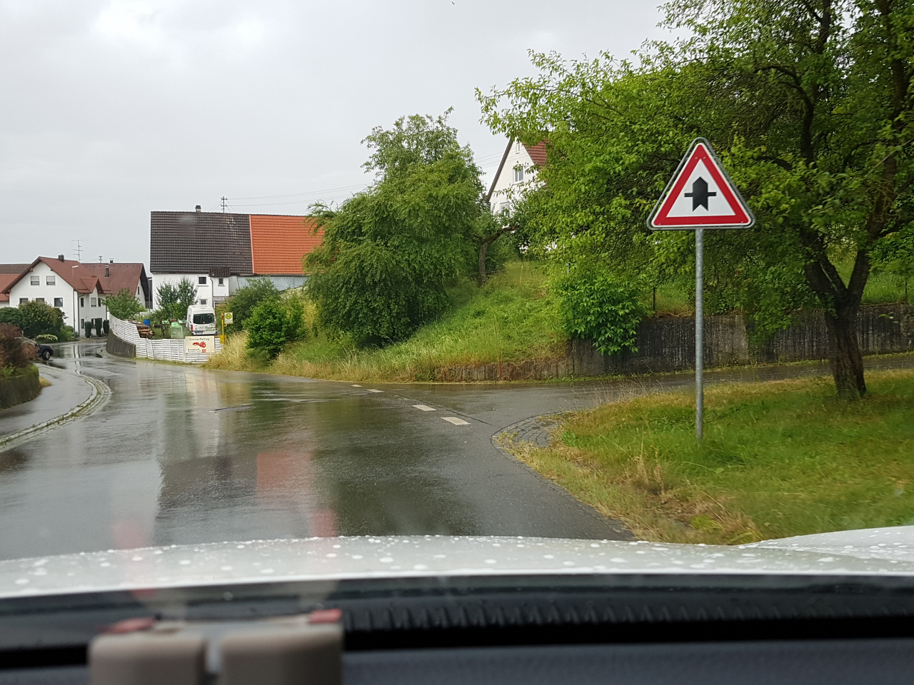
| image | https://storage11.openstreetcam.org/files/photo/2019/7/7/lth/1578869_5f055_5d222f9d547e0.jpg |
| lane_markings | no |
| lanes | 2 |
| maxspeed | 50 |
| name | Gutenzeller Straße |
| ref | K 7580 |
| surface | asphalt |
| survey:date | 2019-07-07 |
Part of
1 relation
- Relation K 7580 (3164238)
Nodes
13 nodes
- 282221935 (part of ways Gutenzeller Straße (35819124) and Zum Schlößle (305986792))
- 4119241529
- 4119241530
- 52306965 (part of way Gutenzeller Straße (144436832))
- 1579809045
- 52306969
- 4119241535
- 1579809062 (part of way Steigweg (144436845))
- 52306973
- 52306976
- 1590454042
- 1590454043
- Edelbeuren (52306978) (part of way Gutenzeller Straße (847719589))
Welcome to OpenStreetMap!
OpenStreetMap is a map of the world, created by people like you and free to use under an open license.
Hosting is supported by Fastly, OSMF corporate members, and other partners.
| https://openstreetmap.org/copyright | https://openstreetmap.org |
| Copyright OpenStreetMap and contributors, under an open license | |