Loading...
Way: Zabelstraße (23619229)
Version #22
Determine road widths
- Edited by Mathias Klein
- Changeset #133885113
Tags
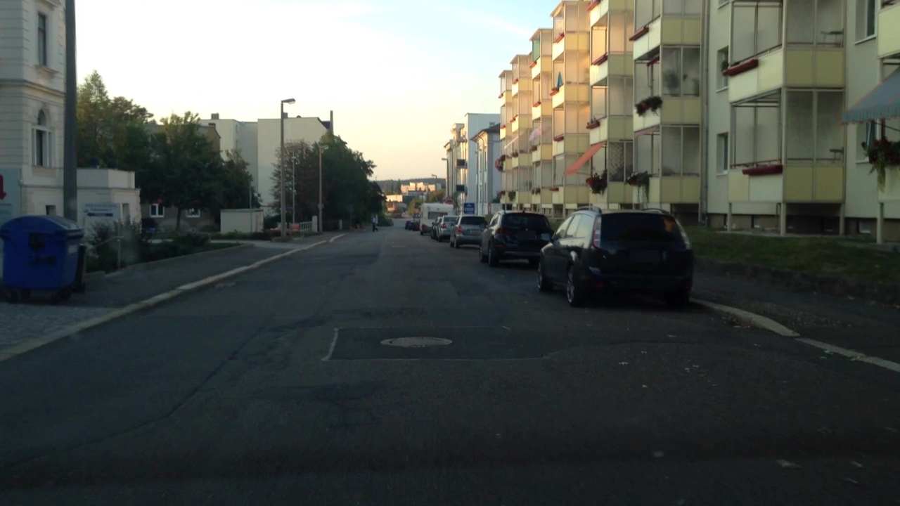
| cycleway:both | no |
|---|---|
| highway | residential |
| image | https://storage9.openstreetcam.org/files/photo/2018/9/20/lth/1291325_2_65381_26.jpg |
| lane_markings | no |
| lit | yes |
| maxspeed | 50 |
| name | Zabelstraße |
| sidewalk | both |
| surface | asphalt |
| survey:date | 2018-09-20 |
| width | 8 |
Part of
3 relations
Nodes
7 nodes
- 247798739 (part of ways Zabelstraße (788461386), Friedrich-Engels-Straße (169505203), and Friedrich-Engels-Straße (788461387))
- 3734975635 (part of way 369728908)
- 3734975640 (part of way 369728908)
- 7544512047 (part of way 968363908)
- 271459273 (part of way Platz der Demokratie (24981686))
- 2979065190
- 146170584 (part of ways Zabelstraße (301057383), Goethestraße (173042997), and 1158352198)
Welcome to OpenStreetMap!
OpenStreetMap is a map of the world, created by people like you and free to use under an open license.
Hosting is supported by Fastly, OSMF corporate members, and other partners.
| https://openstreetmap.org/copyright | https://openstreetmap.org |
| Copyright OpenStreetMap and contributors, under an open license | |