Loading...
Way: Friedrich-Engels-Straße (25279029)
Version #16
Specify whether there is street parking and what kind
- Edited by Mathias Klein
- Changeset #133887032
Tags
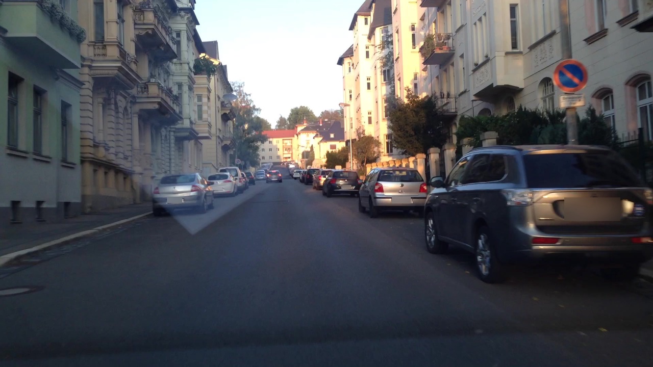
| cycleway:both | no |
|---|---|
| highway | residential |
| image | https://storage9.openstreetcam.org/files/photo/2018/9/20/lth/1291325_3_7c58a_39.jpg |
| lanes | 1 |
| lit | yes |
| maxspeed | 50 |
| name | Friedrich-Engels-Straße |
| oneway | yes |
| parking:both | lane |
| parking:both:orientation | parallel |
| sidewalk | both |
| surface | asphalt |
| survey:date | 2018-09-20 |
Part of
7 relations
- Relation Bus 211: Gera => Korbußen => Brahmenau => Hirschfeld => Beiersdorf (10744582)
- Relation Bus 211: Gera => Ronneburg => Reichstädt => Brahmenau => Pölzig => Beiersdorf (10744584)
- Relation Bus 211: Gera => Ronneburg => Pölzig => Beiersdorf (10744583)
- Relation Bus 200: Münchenbernsdorf => Rothenbach => Lindenkreuz => Gera (10710619)
- Relation Bus 205: Harpersdorf => Pörsdorf => Grüna => Gera (10739772)
- Relation Flixbus 320: Dresden Hbf (Bayrische Straße) => Saarbrücken, Fernbusbahnhof (3347678)
- Relation Flixbus 320: Saarbrücken, Fernbusbahnhof => Dresden Hbf (Bayrische Straße) (9171132)
Nodes
7 nodes
- 145967745 (part of ways Friedrich-Engels-Straße (169505203), Berliner Straße (228055196), and Berliner Straße (32452699))
- 1974022921 (part of way 303397245)
- 1974022922 (part of way 303397255)
- 417308342 (part of way 357470182)
- 7166692235 (part of way 767577114)
- 7166692234 (part of way 767577113)
- 247798736 (part of ways Friedrich-Engels-Straße (301855015), Gagarinstraße (32452659), and Gagarinstraße (1155718957))
Welcome to OpenStreetMap!
OpenStreetMap is a map of the world, created by people like you and free to use under an open license.
Hosting is supported by Fastly, OSMF corporate members, and other partners.
| https://openstreetmap.org/copyright | https://openstreetmap.org |
| Copyright OpenStreetMap and contributors, under an open license | |