Loading...
Way: 253984497
Version #3
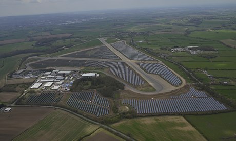
Alignment of solar panels and roads, added grass areas
- Edited by krd_mapper
- Changeset #75151155
Tags
Part of
1 relation
- Relation Wymeswold Airfield Solar Farm (4487446) (as outer)
Nodes
37 nodes
- 2598285777
- 2598285753
- 2598285767
- 6840689007
- 2598285729
- 6840689008
- 2598285732
- 2598285759
- 2598285756
- 2598285731
- 2598285771
- 6840689015
- 6840689014
- 6840689012
- 2598285789
- 2598285739
- 6840689013
- 6840689011
- 6840689010
- 6840689009
- 2598285784
- 2598285796
- 2598285725
- 2598285765
- 2598285761
- 2598285766
- 6840689024
- 6840689023
- 6840689022
- 6840689021
- 6840689020
- 6840689019
- 6840689018
- 6840689017
- 6840689016
- 2598285792
- 2598285777
Welcome to OpenStreetMap!
OpenStreetMap is a map of the world, created by people like you and free to use under an open license.
Hosting is supported by Fastly, OSMF corporate members, and other partners.
| https://openstreetmap.org/copyright | https://openstreetmap.org |
| Copyright OpenStreetMap and contributors, under an open license | |