Loading...
Way: Kirchberger Straße (35819116)
Version #24
Road Surface Missing (Baden-Württemberg, Germany)
- Edited by Arne Schwarck
- Changeset #89427748
Tags
| highway | tertiary |
|---|---|
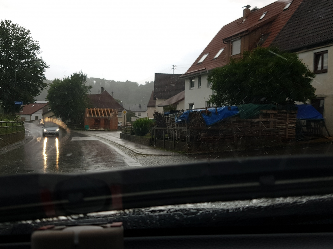
| image | https://storage11.openstreetcam.org/files/photo/2019/7/7/lth/1578841_f3ccd_5d221ff8ac9ac.jpg |
| lane_markings | no |
| lanes | 2 |
| lcn | yes |
| maxspeed | 50 |
| name | Kirchberger Straße |
| ref | K 7506 |
| surface | asphalt |
| survey:date | 2019-07-07 |
Part of
4 relations
- Relation Bus 242: Schwendi Realschule => Schwendi Realschule (11895919)
- Relation K 7506 (1459019)
- Relation K 7580 (3164238)
- Relation Bus 242: Hürbel Stockäcker => Schwendi Realschule (11895920)
Nodes
14 nodes
- 192410868 (part of ways Kirchberger Straße (98494890) and Edelbeurer Straße (1035942680))
- 3452550936
- 662291936
- 4033435844
- 884874181
- 245954457
- 2622411043 (part of way Untere Platzgasse (246326963))
- 4033435847
- 245954456 (part of way 74931183)
- 662291938
- 245954454
- 884874113 (part of way Untere Platzgasse (246326963))
- 6196083201 (part of way 661825383)
- 245954452 (part of ways Kirchberger Straße (235187825) and 25873117)
Welcome to OpenStreetMap!
OpenStreetMap is a map of the world, created by people like you and free to use under an open license.
Hosting is supported by Fastly, OSMF corporate members, and other partners.
| https://openstreetmap.org/copyright | https://openstreetmap.org |
| Copyright OpenStreetMap and contributors, under an open license | |