Loading...
Way: Bei der Kirche (363432819)
Version #7
Road Surface Missing (Baden-Württemberg, Germany)
- Edited by Arne Schwarck
- Changeset #89427748
Tags
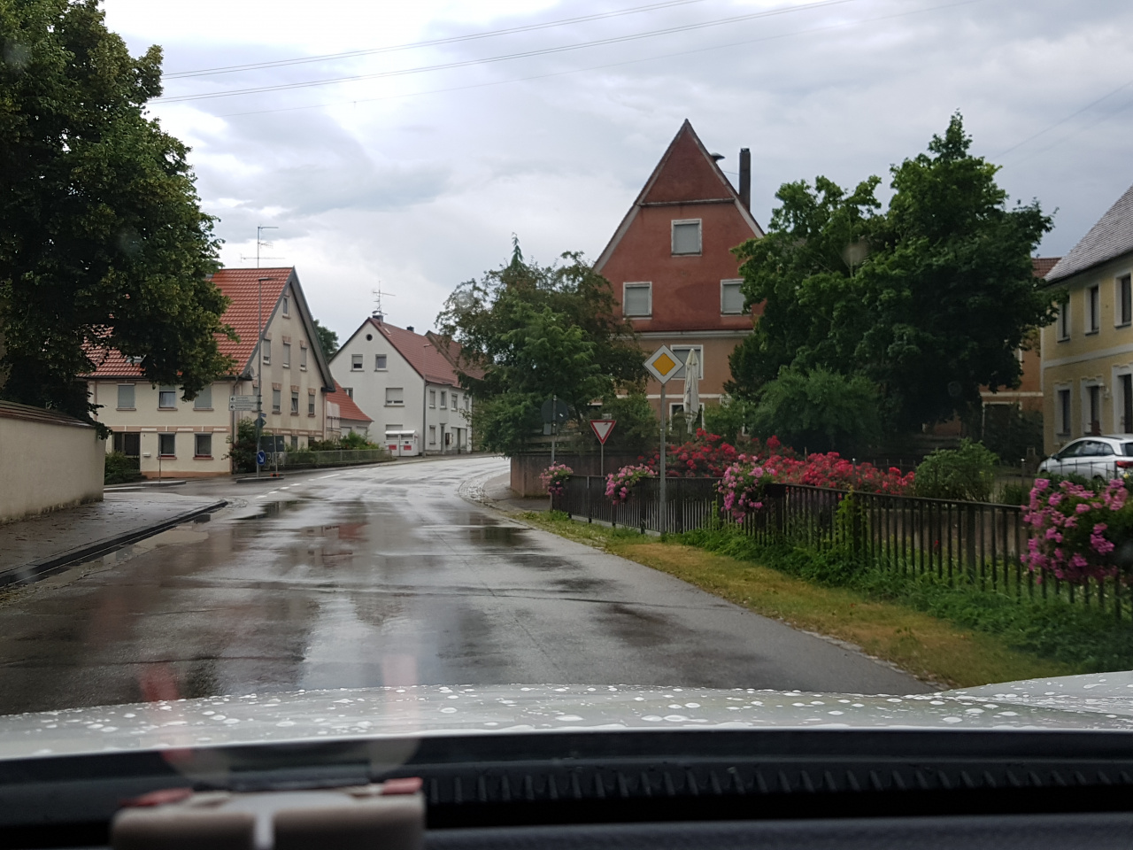
| highway | tertiary |
|---|---|
| image | https://storage11.openstreetcam.org/files/photo/2019/7/7/lth/1578869_3ff38_5d2228f8dbd37.jpg |
| lane_markings | no |
| lanes | 2 |
| maxspeed | 50 |
| name | Bei der Kirche |
| ref | K 7506 |
| surface | asphalt |
| survey:date | 2019-07-07 |
| zone:maxspeed | DE:urban |
Part of
5 relations
- Relation Bus 241: Schwendi Realschule => Ochsenhausen ZOB (11895923)
- Relation Bus 241: Schwendi Realschule => Ochsenhausen ZOB (11895924)
- Relation Bus 241: Ochsenhausen ZOB => Schwendi Realschule (11895925)
- Relation Bus 241: Ochsenhausen ZOB => Schwendi Realschule (11895927)
- Relation K 7506 (1459019)
Nodes
8 nodes
- 49487434 (part of ways Zillishauser Straße (823888314) and Zillishauser Straße (6006880))
- 49487435
- 883017576
- 6191855094 (part of way Reinstetter Straße (661378872))
- 4016907529 (part of way Schönebürger Straße (398951355))
- 253821676
- 4016687180
- 662284916 (part of ways Schönebürger Straße (27738480) and Gutenzeller Straße (363432818))
Welcome to OpenStreetMap!
OpenStreetMap is a map of the world, created by people like you and free to use under an open license.
Hosting is supported by Fastly, OSMF corporate members, and other partners.
| https://openstreetmap.org/copyright | https://openstreetmap.org |
| Copyright OpenStreetMap and contributors, under an open license | |