Loading...
Way: Talstraße (38344234)
Version #16
Specify whether combined foot- and cycleways are segregated
- Edited by EllaGiordano
- Changeset #148867936
Tags
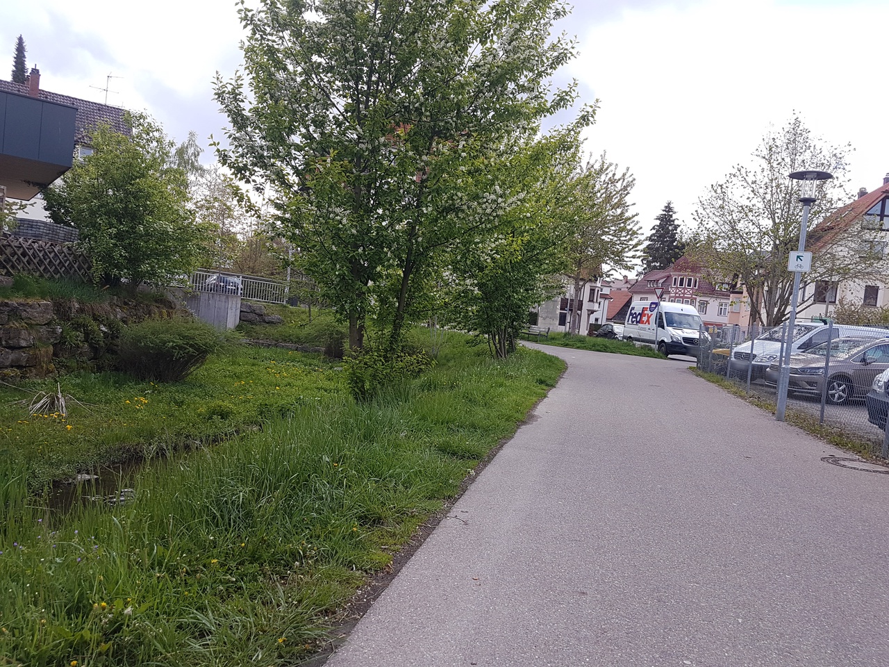
| bicycle | designated |
|---|---|
| check_date | 2024-03-19 |
| foot | designated |
| highway | path |
| image | https://storage13.openstreetcam.org/files/photo/2020/9/12/lth/3006294_82fbe_5f5c46781bf97.jpg |
| lit | yes |
| motor_vehicle | no |
| name | Talstraße |
| segregated | no |
| smoothness | excellent |
| stroller | yes |
| surface | asphalt |
| trail_visibility | excellent |
| wheelchair | yes |
| width | 2.5 |
Part of
8 relations
- Relation Neckarweg Abschnitt 1: Schwenningen - Oberndorf (1485435)
- Relation Neckartal-Radweg Teil 1 (6320773)
- Relation Hugenotten- und Waldenserpfad, Etappe Schwenningen - Rottweil (7387086)
- Relation 19-29 (11599151)
- Relation 28-29 (11599158)
- Relation Fitness-Route (13796360)
- Relation 16828237
- Relation Heidelberg-Schwarzwald-Bodensee-Weg (22527)
Nodes
11 nodes
- 418722691 (part of ways Burgstraße (636961873), Burgstraße (39946266), and 35812781)
- 8524653871 (part of way 923009316)
- 452907459 (part of way 38344233)
- 5478526493 (part of way 569717586)
- 452907458
- 3804611742
- 3804611749
- 3804611751
- 452907457
- 418722681 (part of way 38344232)
- 452907482 (part of way Talstraße (38344242))
Welcome to OpenStreetMap!
OpenStreetMap is a map of the world, created by people like you and free to use under an open license.
Hosting is supported by Fastly, OSMF corporate members, and other partners.
| https://openstreetmap.org/copyright | https://openstreetmap.org |
| Copyright OpenStreetMap and contributors, under an open license | |