Loading...
Way: Avenue du Général de Gaulle (51398882)
Version #9
FR 31 Blagnac étant passé en zone 30 : modifie des tertiary
Tags
| cycleway | lane |
|---|---|
| highway | tertiary |
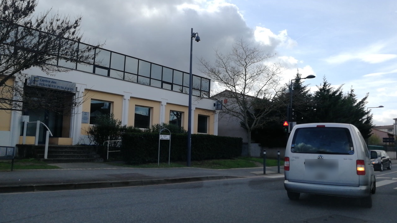
| image | https://storage11.openstreetcam.org/files/photo/2019/3/2/lth/1346259_0_ee30d_56.jpg |
| lane_markings | no |
| maxspeed | 30 |
| name | Avenue du Général de Gaulle |
| parking_lane | none |
| source | cadastre-dgi-fr source : Direction Générale des Impôts - Cadastre. Mise à jour : 2009 |
| source:maxspeed | FR:zone30 |
| surface | asphalt |
| survey:date | 2019-03-02 |
| zone:maxspeed | FR:30 |
Part of
1 relation
Nodes
4 nodes
- 1156789130 (part of ways Avenue des Pins (51398883) and Avenue du Général de Gaulle (24584306))
- 2379081788 (part of way Tram T1 (857299539))
- 1156789084 (part of way Tram T1 (857299540))
- 1156789075 (part of ways Avenue des Pins (51398884), Avenue du Général de Gaulle (757884465), and Avenue du Général de Gaulle (757884466))
Welcome to OpenStreetMap!
OpenStreetMap is a map of the world, created by people like you and free to use under an open license.
Hosting is supported by Fastly, OSMF corporate members, and other partners.
| https://openstreetmap.org/copyright | https://openstreetmap.org |
| Copyright OpenStreetMap and contributors, under an open license | |