Loading...
Way: N 7 (593455966)
Version #8
Specify whether there are cycleways
- Edited by loic_rossi
- Changeset #138661480
Tags
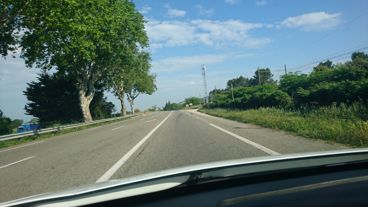
| cycleway:both | no |
|---|---|
| highway | primary |
| image | http://storage8.openstreetcam.org/files/photo/2018/5/6/lth/1177057_a0b1b_11.jpg |
| lanes | 3 |
| lanes:backward | 2 |
| lanes:forward | 1 |
| lit | no |
| mapillary | 155605226569541 |
| maxspeed:backward | 90 |
| maxspeed:forward | 80 |
| note | la N 7 reste nationale entre Vienne et Orange - source http://fr.wikipedia.org/wiki/Route_nationale_7_%28France%29#D.C3.A9classements |
| oneway | no |
| ref | N 7 |
| sidewalk | no |
| surface | asphalt |
| survey:date | 2018-06-15 |
| turn:lanes:backward | merge_to_right|none |
Part of
5 relations
- Relation Bus 901 : Bollène - Mermoz => Orange - PEM Gare Routière (9412503)
- Relation Bus 901 : Orange - PEM Gare Routière => Bollène => Lapalud - Place Morel (12224037)
- Relation Bus 901 : Orange - PEM Gare Routière => Bollène - Mermoz (15092784)
- Relation Bus 901 : Lapalud - Place Morel => Bollène => Orange - PEM Gare Routière (15092783)
- Relation N7(FR) (14705541)
Nodes
3 nodes
- 858989197 (part of ways Chemin de l'Étang (72300249) and N 7 (386971937))
- 5661416508
- 5661416513 (part of way N 7 (593455967))
Welcome to OpenStreetMap!
OpenStreetMap is a map of the world, created by people like you and free to use under an open license.
Hosting is supported by Fastly, OSMF corporate members, and other partners.
| https://openstreetmap.org/copyright | https://openstreetmap.org |
| Copyright OpenStreetMap and contributors, under an open license | |