Loading...
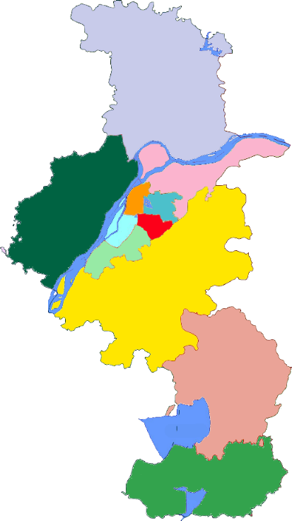
Way: 桠溪上兴界 (784822804)
Version #1
完善溧阳村级边界
- Edited by garry king
- Changeset #82670851
Tags
| admin_level | 5 |
|---|---|
| boundary | administrative |
| name | 桠溪上兴界 |
| source | http://upload.wikimedia.org/wikipedia/commons/3/3a/Subdivisions_of_Nanjing-China.png |
Part of
6 relations
- Relation 南京市 (2131524) (as outer)
- Relation 缪巷村 (10909174) (as outer)
- Relation 上兴镇 (10809670) (as outer)
- Relation 溧阳市 (10809733) (as outer)
- Relation 高淳区 (2147644) (as outer)
- Relation 常州市 (3429666) (as outer)
Nodes
9 nodes
- 7280378408 (part of ways 784822767 and 桠溪上兴界 (779654890))
- 7280378407
- 7280378406
- 7280378405
- 7280378404
- 7280378403
- 7280378402
- 7280378401
- 7280378400 (part of ways 784822770 and 桠溪上兴界 (784822805))
Welcome to OpenStreetMap!
OpenStreetMap is a map of the world, created by people like you and free to use under an open license.
Hosting is supported by Fastly, OSMF corporate members, and other partners.
| https://openstreetmap.org/copyright | https://openstreetmap.org |
| Copyright OpenStreetMap and contributors, under an open license | |